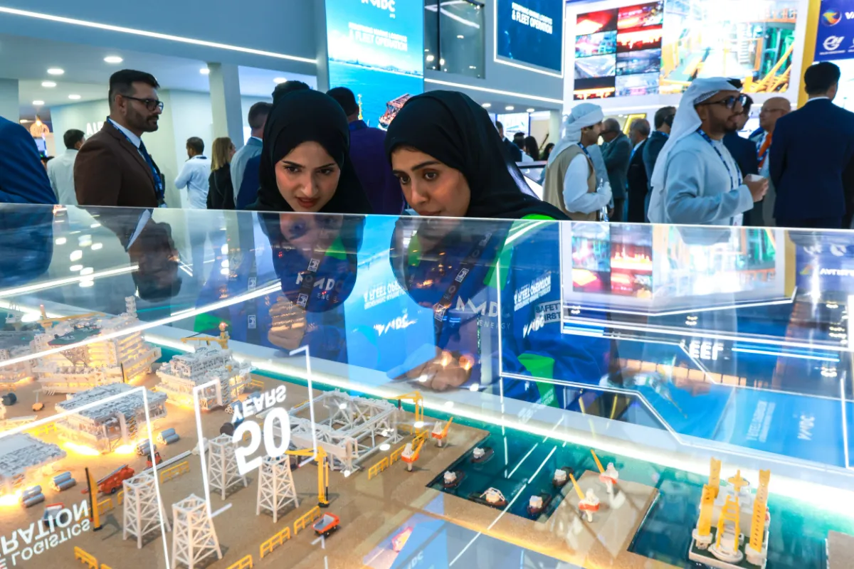
An oil or gas facility can have room to produce more even when there is little room to build. In his ADIPEC 2026 article Brownfield Modernisation: Unlocking the Next Era of Middle East Energy, Technip Energies’ Dominique Gadelle argued that some of the region’s most attractive opportunities lie in assets that have already been operating for decades. Upgrading those facilities can increase output, improve product quality, and reduce emissions while making use of existing infrastructure, logistics, and operating teams. In suitable cases, that can mean less capital, a shorter schedule, and a smaller physical footprint than building an equivalent facility from scratch.
Where Existing Facilities Can Gain Capacity
Gadelle identified debottlenecking as one route to higher output. The limiting factor may be a process unit, but it can also sit elsewhere in the system: compression, utilities, storage, export facilities, or the way equipment is controlled. Increasing the capacity of one unit has limited value if the next stage cannot handle the extra volume. That makes it important to establish where the constraint sits before deciding which equipment to modify.
He cited the Qatargas 1 debottlenecking program, which increased LNG production capacity from approximately 6 million to around 10 million tonnes per year across three existing trains. He also pointed to the Plateau Maintenance Project as an example of sustaining performance as feed conditions changed. The two examples illustrate different reasons to invest in a producing asset. One project increases throughput. Another helps maintain output as the gas entering the facility changes.
Other upgrades respond to changing market requirements. A refinery may need to meet tighter product specifications, a petrochemical plant may need to accept a wider range of feedstocks, and an LNG facility may need to accommodate changes in feed composition or export requirements. Targeted equipment replacement and reliability improvements can extend the productive life of the plant. Gadelle also argued for considering energy efficiency, heat integration, electrification, and reductions in flaring, venting, and methane emissions alongside safety, reliability, and project economics.
The Hardest Part Is Often Connecting New Work to a Live Plant
Upgrading an operating facility means fitting new equipment into a site with established workflows, limited space, and existing shutdown schedules. Engineers need accurate information about the assets already in place, a clear definition of where new equipment will connect, and a construction sequence that works around ongoing operations. Gadelle emphasized bringing operators, engineering teams, technology providers, construction specialists, and operations personnel together early enough to test those assumptions before major commitments are made. He cited work on Das Island and the Nasr Full Field Development in the UAE as examples of integrating new facilities into operating environments.
The exhibition also offered an example of what better visibility can mean at equipment level. PROTEGO presented valve sensor technology designed to monitor valve condition and emissions in storage and process facilities. That information can help maintenance teams assess a specific piece of equipment. Across a large site, project and operations teams also need a record of changes outside individual units, including where new roads, laydown areas, or earthworks have appeared and how they relate to facilities still in service.
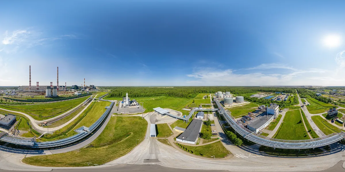
Image: An aerial view of the Enefit Power tank farm shows the layout of storage tanks, access roads, and surrounding land. Photo by Lauri Veerde
What Satellite Monitoring Can Add Before, During, and After an Upgrade
Before construction, establish a site baseline
Gadelle’s emphasis on accurate asset information is particularly relevant when an upgrade covers several work areas or interfaces with facilities that must stay in service. Historical and recent optical satellite imagery can give project teams a dated record of the site layout, access routes, surrounding land use, and areas already disturbed by earlier work. Teams can compare that record with current site plans to identify where conditions have changed and where a field survey would resolve uncertainty.
For example, when planning an expansion beside an operating tank farm, the project team can use imagery to check whether proposed temporary access or laydown areas overlap with newer roads or ground works. Detailed engineering surveys can then focus on those areas before construction begins.
During construction, separate planned changes from exceptions
Successive optical images can help teams record visible changes such as new access tracks, excavation, temporary storage areas, and work that extends beyond the planned footprint. Comparing those changes with approved work boundaries and the construction schedule gives project and operations teams a common reference. A new track inside an approved work area may simply document progress. A similar track beside an operating tank or across a service road may merit a closer look because of its location and the way the site is used.
Where the site has a history of subsidence or the project changes loading or drainage near existing infrastructure, time-series InSAR can add a record of ground movement where radar observations are suitable. If the analysis flags a persistent trend near a tank area, road, or other asset, the team can compare it with construction records and use ground surveys or on-site instruments to investigate. This gives engineers a way to decide where to measure more closely and how far the area of interest extends.
After commissioning, give operations a record it can use
At handover, the value of the imagery lies in what the next team can recover from it. A dated record can show which temporary roads were removed, where the permanent site boundary changed, and which areas were flagged for follow-up. Linking those observations to asset IDs, inspection records, and field findings lets the operations team revisit a location months later and see what was already present at commissioning.
Operators planning a brownfield upgrade can contact STARPATH GLOBAL to define the site features and changes they need to track. STARPATH GLOBAL can match imagery resolution and acquisition frequency to the size of those features and the pace of the work. Deliverables can include dated site baselines, geolocated change maps, and before-and-after imagery that project teams can use during construction and pass to operations at handover.