
Author: starpathwp-production
-
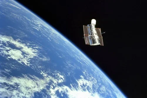
Samara Aerospace Advances Satellite Attitude Control with MSAC Technology
Samara Aerospace is developing a new approach to spacecraft attitude control through the Multifunctional Structures for Attitude Control (MSAC) technology, an innovative system that replaces conventional reaction wheels with actuated deployable spacecraft structures. Designed to combine spacecraft pointing, angular momentum storage and active vibration suppression within a single integrated architecture. Samara Aerospace’s MSAC technology introduces…
-
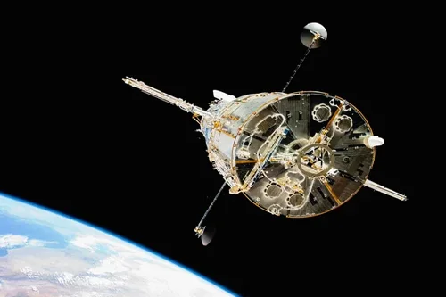
How does satellite data improve utility maintenance planning?
Satellite data significantly improves utility maintenance planning by providing timely, large-scale insights into infrastructure conditions, environmental risks, and operational priorities. By enabling utilities to monitor extensive asset networks more efficiently, Earth observation technologies support proactive maintenance strategies that help reduce costs, improve reliability, and enhance operational resilience. Traditional maintenance planning often relies on scheduled inspections,…
-

Unseenlabs Orders 2 Cubesats from GomSpace
French radio frequency (RF) detection company Unseenlabs has ordered two additional cubesats from smallsat manufacturer GomSpace. GomSpace announced the contract worth 2.2 million euro ($2.5 million) on Wednesday. The satellites, built on GomSpace’s 8U platform, are targeted for delivery in 2027. With this order, Unseenlabs has ordered 16 cubesats from GomSpace, with previous orders in…
-

Can satellites help detect pipeline or telecom asset issues?
Yes, satellites can play an important role in detecting and monitoring conditions that may affect pipeline and telecommunications infrastructure. While satellites generally do not replace detailed engineering inspections or field-based monitoring systems, they provide valuable large-scale visibility that helps operators identify potential issues, prioritize maintenance activities, and improve risk management across extensive asset networks. Pipeline…
-

What utility infrastructure can be tracked using geospatial intelligence?
Geospatial intelligence provides utilities with a powerful framework for tracking, mapping, and managing a wide range of infrastructure assets. By combining satellite imagery, remote sensing technologies, GIS platforms, and advanced analytics, utility operators can maintain visibility across extensive networks while improving operational efficiency and decision-making. Electric power infrastructure is among the most commonly monitored asset…
-
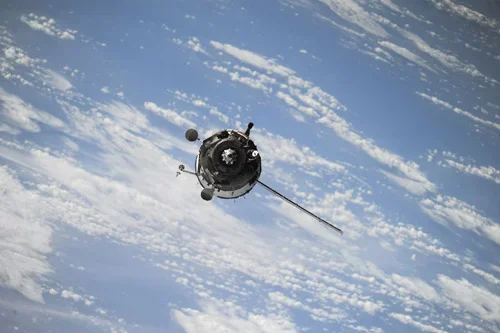
How can satellite data be used for power grid monitoring?
Satellite data has become an increasingly valuable tool for power grid monitoring, providing utility operators with broad-area visibility into transmission networks, substations, generation facilities, and surrounding environmental conditions. As power infrastructure expands across large geographic regions and utilities face growing demands for reliability and resilience, Earth observation technologies offer scalable monitoring capabilities that complement traditional…
-
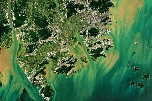
Can satellite analytics support smart city development?
Yes, satellite analytics can play a significant role in supporting smart city development by providing comprehensive geospatial intelligence that helps cities improve efficiency, sustainability, resilience, and quality of life. As urban areas become increasingly connected and data-driven, Earth observation technologies contribute valuable information that complements sensors, IoT networks, operational systems, and urban analytics platforms. Smart…
-
How is population or land use analysis derived from satellite data?
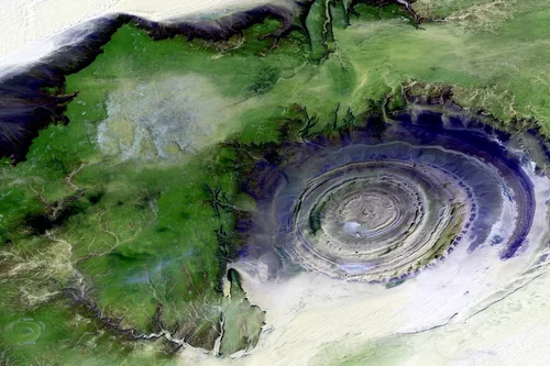
Satellite data plays a vital role in population estimation and land use analysis by providing detailed observations of human settlements, built environments, and landscape characteristics. Although satellites do not directly count people, Earth observation technologies can generate valuable indicators that help analysts understand population distribution, urban density, and land utilization patterns across geographic regions. Land…
-

What urban infrastructure can be mapped using Earth observation?
Earth observation technologies can map and monitor a wide range of urban infrastructure assets, providing valuable information for city governments, planners, utility operators, transportation agencies, developers, and infrastructure managers. Satellite imagery offers a scalable and cost-effective method for maintaining visibility across large urban areas while supporting planning, maintenance, and investment decisions. Buildings are among the…
-
How can satellite data support city planning and expansion monitoring?
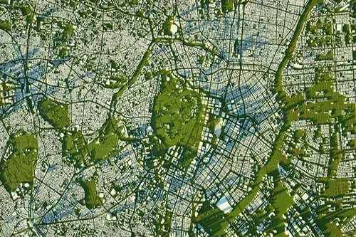
Satellite data has become an increasingly important resource for city planning, urban management, and expansion monitoring. As urban populations continue to grow and cities face increasing demands on infrastructure, housing, transportation, and public services, Earth observation technologies provide planners and decision-makers with timely, objective, and large-scale insights into how urban environments are evolving. One of…