
Author: starpathwp-production
-
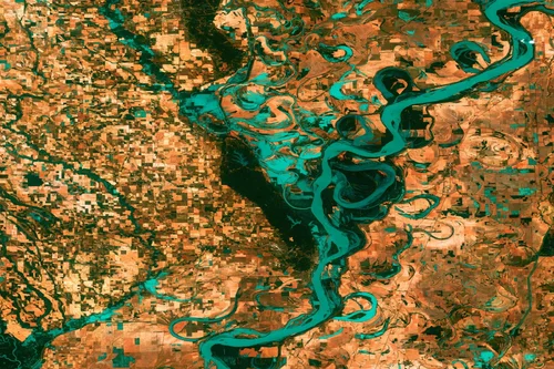
Can satellite imagery track pollution and environmental change?
Yes, satellite imagery plays a vital role in tracking pollution and environmental change across terrestrial, freshwater, coastal, marine, and atmospheric environments. Earth observation systems provide large-scale visibility into environmental conditions, enabling organizations to monitor trends, identify emerging issues, and assess the impacts of human activities and natural processes over time. One of the major strengths…
-
How is deforestation monitored using satellite data?
Satellite data has become one of the most effective tools for monitoring deforestation and forest change at local, regional, and global scales. By providing consistent, repeatable, and objective observations of land cover over time, Earth observation technologies enable governments, environmental organizations, researchers, and private-sector stakeholders to identify forest loss, assess ecosystem impacts, and support conservation…
-
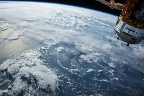
How is facility monitoring improved with satellite intelligence?
Satellite intelligence significantly enhances facility monitoring by providing continuous, objective, and scalable visibility into oil and gas infrastructure throughout its operational lifecycle. From upstream production sites and processing facilities to storage terminals, pipelines, and export hubs, Earth observation technologies help organizations improve situational awareness, operational efficiency, asset protection, and risk management. One of the primary…
-
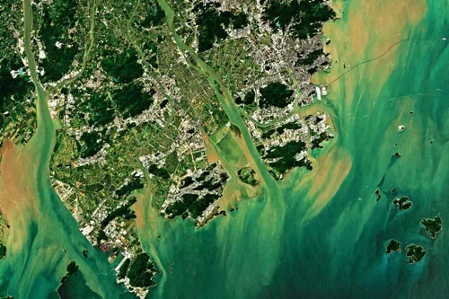
Can satellite imagery detect subsidence or ground movement?
Yes, satellite imagery is one of the most effective technologies available for detecting and monitoring subsidence, ground movement, and surface deformation across large geographic areas. Advances in radar-based Earth observation have made it possible to measure subtle changes in ground elevation with remarkable precision, providing valuable information for oil and gas operators, infrastructure managers, regulators,…
-
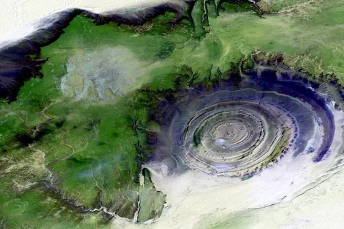
What role does satellite data play in exploration activities?
Satellite data plays a significant role in oil and gas exploration by providing valuable geological, environmental, and geographic information that supports the identification and evaluation of potential resource opportunities. While satellites cannot directly image underground hydrocarbon reservoirs, they can detect surface indicators and regional characteristics that help exploration teams better understand subsurface conditions and prioritize…
-
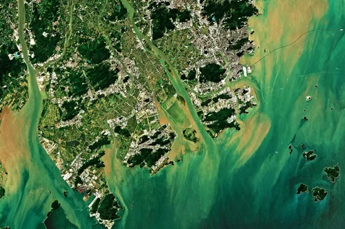
How can satellites monitor oil and gas pipelines?
Satellite technology has become an increasingly important component of pipeline monitoring programs across the oil and gas industry. With thousands of kilometers of pipelines often crossing remote deserts, forests, mountains, wetlands, and offshore environments, maintaining continuous visibility over critical infrastructure can be challenging using traditional inspection methods alone. Satellite monitoring provides a scalable and cost-effective…
-
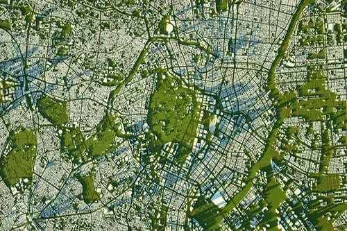
What risks can satellite analytics detect in mining areas?
Satellite analytics can identify and monitor a wide range of operational, environmental, geotechnical, and infrastructure-related risks within mining regions. By combining high-resolution imagery, radar observations, time-series analysis, and advanced geospatial analytics, mining organizations can gain early visibility into potential threats and make more informed risk management decisions. One of the most significant risks monitored through…
-
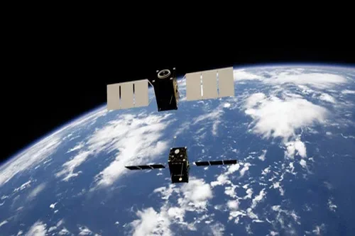
How is environmental compliance tracked in mining operations?
Environmental compliance is a critical component of modern mining operations, and satellite data has emerged as a powerful tool for supporting monitoring, reporting, and regulatory oversight. Earth observation technologies provide objective, repeatable, and large-scale measurements that help mining companies demonstrate compliance with environmental requirements while enabling regulators and stakeholders to assess environmental performance independently. One…
-

Can satellite imagery support mineral exploration?
Satellite imagery plays an increasingly important role in mineral exploration by helping geologists and exploration teams identify areas with potential mineralization before committing to costly field investigations and drilling programs. Although satellites cannot directly observe most mineral deposits beneath the Earth’s surface, they can detect geological, geochemical, and environmental indicators associated with mineral-bearing systems. One…
-
Blue Origin decides not to re-create ruined pad but will move on to a different launch concept
A tarnished “Road to Space” sign stands near Blue Origin’s damaged launch pad in Florida. (Blue Origin Photo) One month after a New Glenn rocket explosion damaged its Florida launch pad, Jeff Bezos’ Blue Origin space venture has decided to shift its focus to a new concept for future launches. “To return to flight this…