
Author: starpathwp-production
-
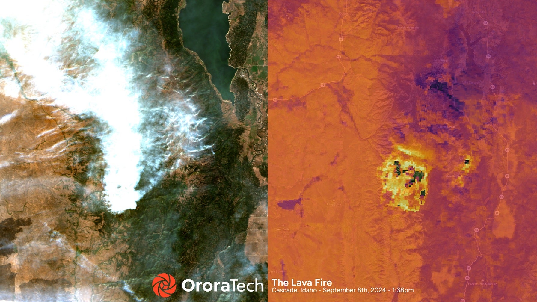
Idaho to Deploy Satellite-Based Wildfire Detection With OroraTech
The Idaho Department of Lands will deploy a statewide satellite-based wildfire detection and monitoring system through a new partnership with OroraTech USA. OroraTech said Sept. 10 that the system uses both public and its own proprietary wildfire satellites and other public data sources. It is designed to provide fire location, intensity, and predicted spread. The…
-
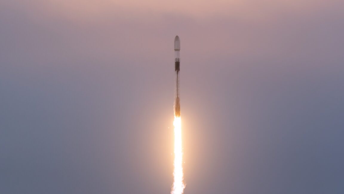
Pentagon begins deploying new satellite network to link sensors with shooters
The first 21 satellites in a constellation that could become a cornerstone for the Pentagon’s Golden Dome missile-defense shield successfully launched from California Wednesday aboard a SpaceX Falcon 9 rocket. The Falcon 9 took off from Vandenberg Space Force Base, California, at 7:12 am PDT (10:12 am EDT; 14:12 UTC) and headed south over the…
-

DSEI Takeaways: Space and Cyber and the Invisible Front Line
LONDON — The advance of space and cyber technologies is creating “an invisible front line” in the warfighting domain. Royal Air Force Air Marshal Paul Godfrey, who is serving as assistant chief of Space Operations for Future Concepts and Partnership, with the U.S. Space Force (USSF) said during the Space Forum at DSEI UK on…
-
DSEI Takeaways: Space and Cyber and the Invisible Front Line
LONDON — The advance of space and cyber technologies is creating “an invisible front line” in the warfighting domain. Royal Air Force Air Marshal Paul Godfrey, who is serving as assistant chief of Space Operations for Future Concepts and Partnership, with the U.S. Space Force (USSF) said during the Space Forum at DSEI UK on…
-

Allente Taps Space Norway for Further Broadcast Capacity
Space Norway has signed a new broadcast deal in the Nordic region with Allente, a major player in the Nordic pay-TV market, for long-term satellite capacity from the 1 degree West orbital position. This partnership aims to enhance communication infrastructure and service delivery across the region. The deal was announced Sept. 11. The two players…
-

SFL Missions Secures Contract to Build Three HawkEye 360 Satellite Clusters for Advanced RF Detection
SFL Missions Inc. has been awarded a contract to provide spacecraft bus units in support of three new HawkEye 360 satellite Clusters, totaling nine spacecraft, which will expand HawkEye 360’s RF detection and geolocation constellation. The contract includes Cluster 14, which is similar to those recently launched by HawkEye 360, and Clusters 15 and 16,…
-

Capgemini, Thales and Thales Alenia Space Selected by CNES for 5G Direct-to-Device Demo Under France 2030
Capgemini, a global leader in business and technology transformation, Thales, a global leader in advanced technologies for the Defense, Aerospace and Cyber & Digital sectors, and Thales Alenia Space, a joint company between Thales (67%) and Leonardo (33%), have been selected by the French Space Agency (CNES) as part of a government-backed call for projects under…
-

IHI Partners with SatVu to Develop High-Resolution Thermal Infrared Satellite Constellation
IHI Corporation has reached an agreement with Global Satellite Vu Ltd, a global leader in developing and operating high-resolution thermal infrared (IR) satellites, to collaborate on the development of a constellation to strengthen Japanese sovereign capability. A signing ceremony for the Memorandum of Understanding (MoU) between IHI and SatVu will be held on September 10,…
-

Comtech SLM-5650B: First Sovereign-Certified Modem on SES O3b mPOWER Network
Comtech Telecommunications, a global communications technology leader, announced the company’s market-leading software defined SLM-5650B became the first sovereign-certified modem to receive Government Terminal Certification (GTC) to operate on SES’s Medium Earth Orbit (MEO) O3b mPOWER satellite constellation. Also Explore: Satellite Constellations Operating on the high-throughput low-latency O3b mPOWER system, Comtech’s SLM-5650B will provide critical hybrid communications…
-

ICEYE Launches Gen4 SAR Satellites Delivering 16 cm Resolution and Expanded Coverage
ICEYE, the global leader in Synthetic Aperture Radar (SAR) satellite operations, announced the commercial availability of its fourth-generation “Gen4” satellites. The latest generation delivers the world’s highest-fidelity commercial SAR imagery, with a resolution of up to 16 cm, and extends the high-resolution field of regard to 400 km. It enables more images per orbital pass,…