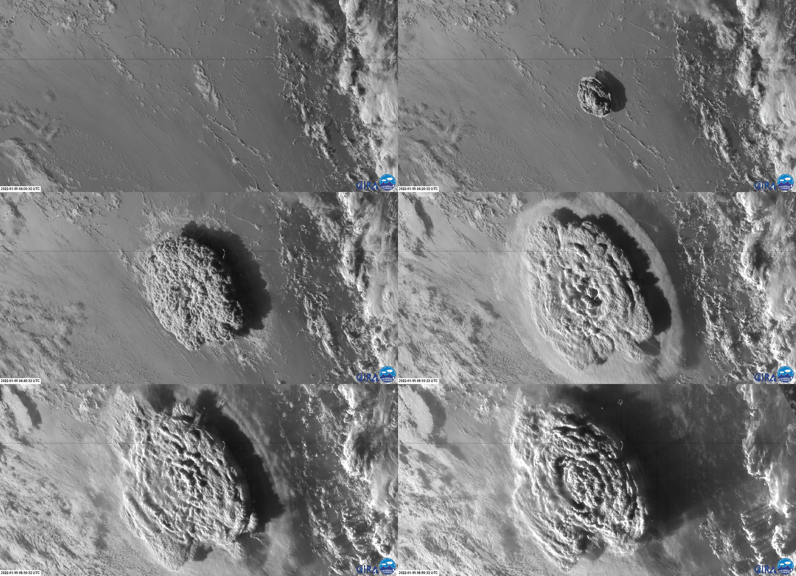
NOAA’s GOES-17 (West) satellite captured these pictures showing the power of this eruption. Along with NOAA’s satellite, the Himawari 8 satellite that is operated by the Japan Meteorological Society also captured images of the eruption.
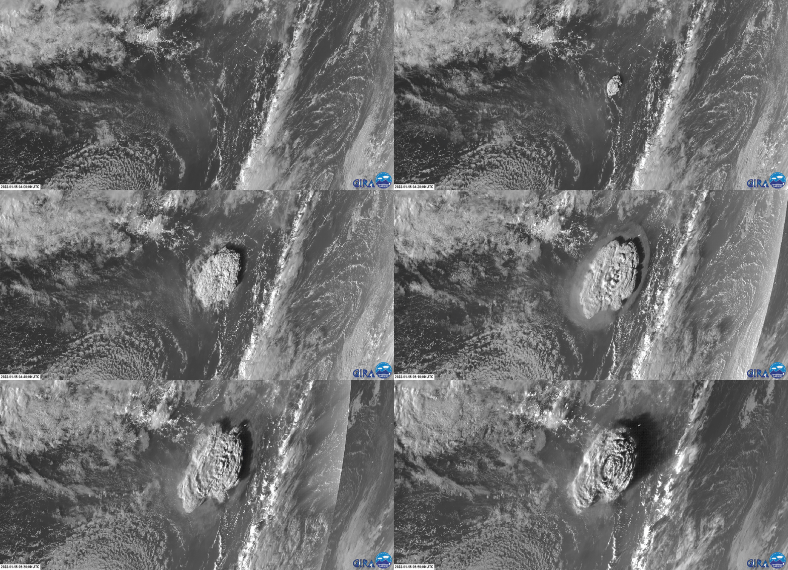
In both of these gifs, you can see the shockwaves created by the eruption. These shockwaves traveled across the world and the sound could have been heard from as far as 6,000 km away! These satellites are now monitoring the site with images being updated every minute or so. This is an evolving situation, so scientists need to get as up-to-date information as possible. This eruption created a tsunami that impacted Tonga and effects have been seen in Hawaii and the west coast of the United States.
While we may sit here and be amazed by these images, we must not forget the real impact this event has and will cause for locals in the area and the long-term impacts this could have. This is still an active volcano and more eruptions are possible. Hopefully, this is the worst of whatever remains. We will update this post with more information as more comes out. Keep an eye on Planet Lab’s Twitter for more imagery from their satellites!
Featured Image Credit: JMA – CIRA/RAMMB
Want to help support Space Explored?
Directly support Jared by joining his Patreon (recurring support), or donate through Ko-Fi (one-off support)
Shop on Amazon to support Space Explored Writers.