Tag: Earth Imaging
-
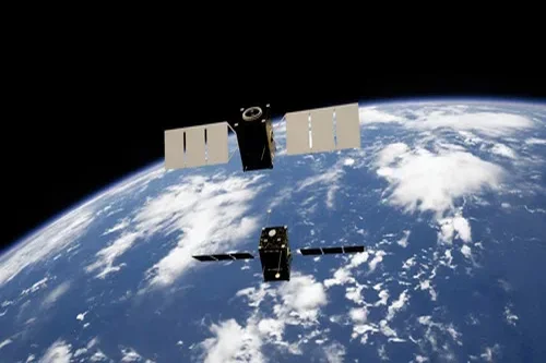
Xplore shows off a hyperspectral view of North Korea, captured by XCUBE-1 imaging satellite
Xplore’s satellite captured this color-coded image in visible and near-infrared wavelengths over North Korea. ©2025 Xplore Inc. Nine months after the launch of its first satellite, Bellevue, Wash.-based Xplore is sharing a hyperspectral view of North Korean territory as seen from orbit. The image, captured in visible and near-infrared wavelengths by Xplore’s XCUBE-1 satellite, was…
-

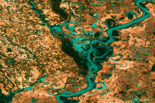
Xplore reveals colorful hyperspectral views captured by its planet-watching satellite
An image from the XCUBE-1 satellite shows the Salt River in Arizona. ©2025 Xplore Inc. All rights reserved. Bellevue, Wash.-based Xplore has released the first hyperspectral images from its XCUBE-1 satellite, six months after the shoebox-sized spacecraft was sent into orbit. The pictures, captured with a resolution of 5 meters (16 feet) per pixel, show…
-
Seattle-area Earth observation satellite factory LeoStella is open for business
LeoStella technicians work on the first of 20 satellites to be produced by the Tukwila, Wash.-based startup. (GeekWire Photo) When you hear the words “satellite factory,” LeoStella‘s operations in a nondescript office park south of Seattle probably isn’t the image that comes to mind. But that’s exactly what it is. By the middle of summer, the…