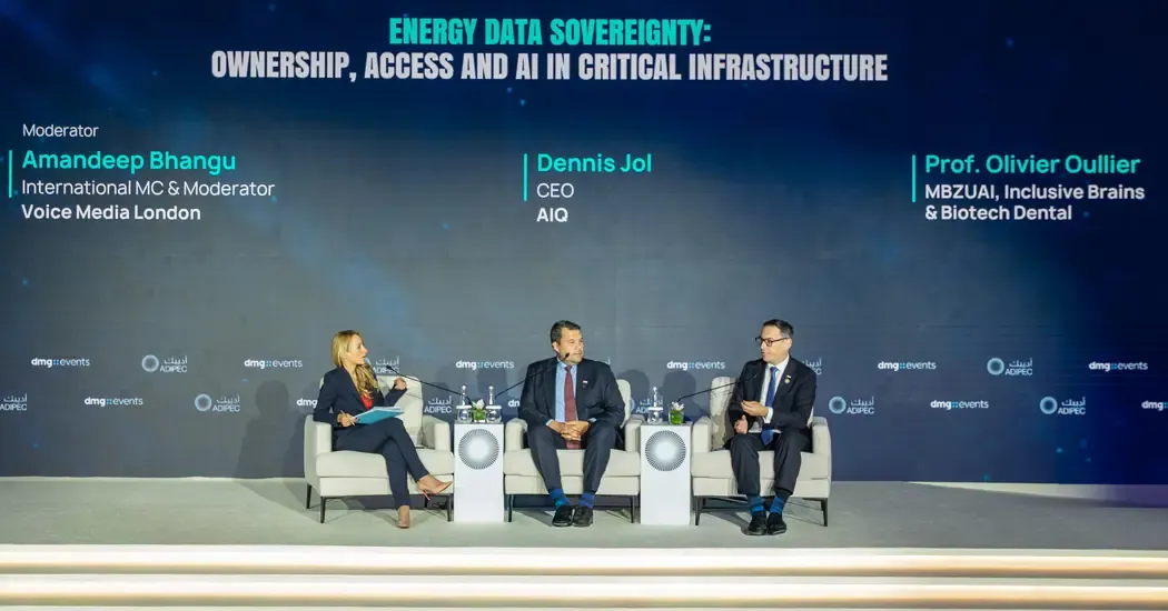
When pressure drops between two points on a pipeline, an operator has a section to investigate and a decision to make about sending someone into the field. At ADIPEC 2026 in Abu Dhabi, AIQ Chief Executive Officer Dennis Jol used that scenario to show how pressure readings, cameras, drones, and field crews could work together to investigate a possible leak. The discussion went further than the inspection itself. As more AI agents begin acting across industrial systems, Jol and fellow panelist Olivier Oullier asked who should be accountable for their actions, how operators can protect the people working alongside them, and who controls the data and models they use.
How AIQ Would Investigate a Pressure Drop
Jol said AIQ was already connecting robots, cameras, and drones in a system it calls a “hive mind.” In the pipeline example he gave, a pressure-monitoring system detects a drop between two points. That signal prompts the system to turn a camera toward the affected area and look for signs of a leak. If the camera cannot see enough to assess the situation, the system sends a drone for a closer inspection. The drone can look beyond the fixed camera’s view and gather information about conditions at the site. A field employee can then inspect the area in person once conditions have been assessed for safe entry.
Each step answers a different question. The pressure reading identifies the stretch of pipeline to investigate. The camera gives the operator a first look without sending a crew. The drone can examine areas the camera cannot reach and help narrow down where the field team should look. The employee then verifies what is happening on the ground. Jol presented the sequence as an example of how connected equipment could support a field decision.
Jol said AIQ had completed about 200 AI use cases, some of which were experimental. He also said the company had launched an operating system designed to coordinate AI agents, with safeguards part of the next phase of development. The distinction matters as operators move from individual applications to workflows in which one system’s finding can trigger another system’s action. A pressure alert can lead to a camera check and then a drone inspection, with each handoff giving the operations team more information before it decides what to do.
Who Is Accountable When AI Agents Keep Working?
Jol used a hypothetical example to illustrate the scale of the oversight problem. If 55,000 employees each created three AI agents, the organization would have 165,000 agents operating across its systems. He asked what happens when an employee leaves and the agents they created continue working. His point was that responsibility for an agent’s actions needs to stay with people even as the systems become more numerous and interconnected.
For a pipeline operator, that principle has practical consequences. The response procedure needs to specify which actions an agent can initiate, who reviews its findings, and who authorizes field entry. The operator also needs a way to identify which system triggered each step and who took responsibility for the decision. Those details are easier to settle while designing the workflow than during a live incident.
Oullier, a neuroscientist and founder of Inclusive Brains, approached preparedness from the worker’s perspective. Energy companies already use technology to anticipate equipment failures, he said. They should apply similar attention to the safety and needs of the people who operate those assets. He described research into systems that use signals such as eye movement, voice, facial expressions, touch, and physiological responses to adapt to the people working with them. His examples of physical AI ranged from exoskeletons and humanoid robots to buildings. The common question was how a machine can respond to the person using it and help protect them in the course of their work.
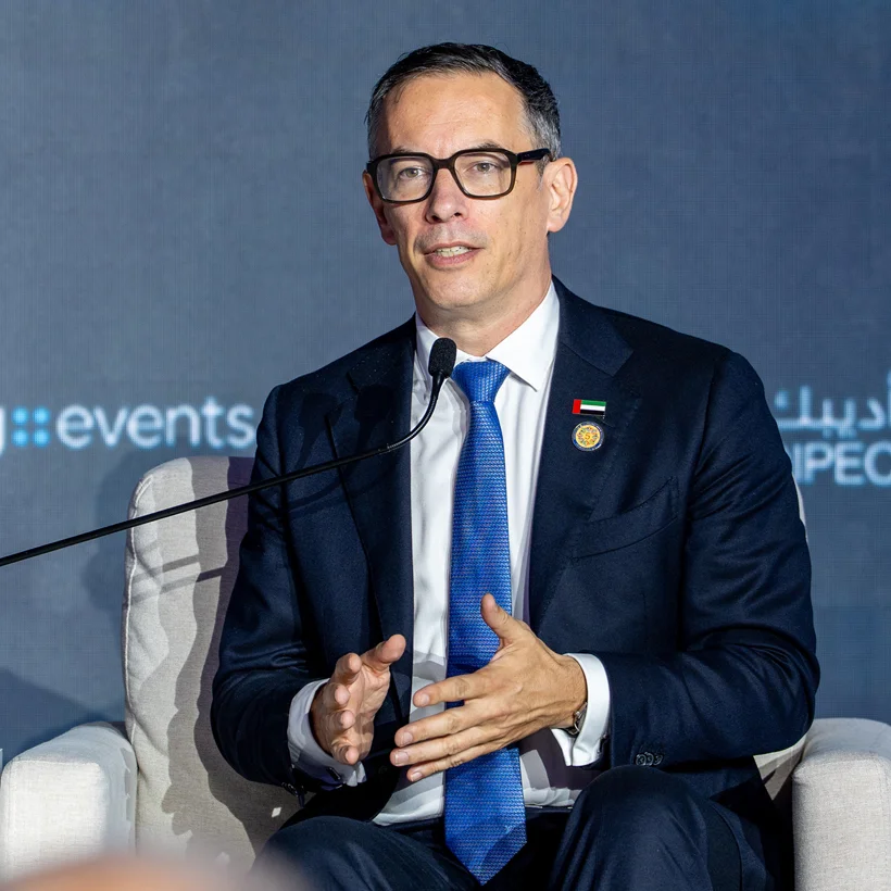
Image: Olivier Oullier discusses preparedness and worker safety during an ADIPEC 2026 panel on AI and energy resilience.
Who Controls the Data and the Models It Improves?
The panel also considered what happens to operational data once it becomes part of an AI system. Jol argued that the data should belong to the customer and remain within a framework the customer controls. He framed sovereignty in terms of who can secure the data and govern access to it, including at the organizational level. Oullier raised a separate ownership question. When a model improves through training on a company’s data, who owns those improvements? He saw this as an issue for organizations and individuals as well as governments.
The discussion followed ADNOC’s announcement of a multiyear partnership with OpenAI and G42. ADNOC said the system would run on G42’s UAE-based infrastructure, with human experts overseeing consequential decisions. One of the first applications will bring together data from wells, reservoirs, and surface facilities for oilfield development planning. Another will link operational and commercial information across production, processing, refining, logistics, sales, and trading. Those applications give a sense of the number of decisions and teams that can be involved once industrial AI extends across a business.
Looking ahead to ADIPEC 2027, Jol said he wanted the discussion to move toward what AI systems deliver in practice. Oullier pointed to the outcomes he hoped to report from deployments, including fewer accidents, safer working conditions, and higher productivity. In field operations, that puts the focus on how a system changes the decisions crews make and the conditions under which they work.
Where Satellite Monitoring Fits in Routine Pipeline Inspections
A pressure alert starts an immediate operational response. Routine satellite monitoring can give the same team a record of what was happening along the corridor before the alert. Comparing optical imagery over time can reveal new access roads, excavations, temporary stockpiles, or possible encroachment. In suitable areas, time-series interferometric synthetic aperture radar (InSAR) can track ground movement near known subsidence zones or slopes.
For example, if imagery shows a new excavation near a pipeline, the integrity team can compare its location with the pipeline alignment, work permits, and past inspections. It can then decide whether to schedule a field check and give the crew coordinates and before-and-after images. If a pressure alert later affects the same stretch, responders can consult that record for recent activity while following their established incident response procedure.
Operators looking to build that record can contact STARPATH GLOBAL to define which sections to monitor and what changes to flag. Based on the features an operator needs to detect, STARPATH GLOBAL can match satellite image resolution and monitoring frequency to each section and deliver geolocated findings with before-and-after imagery for field verification.