
Author: starpathwp-production
-
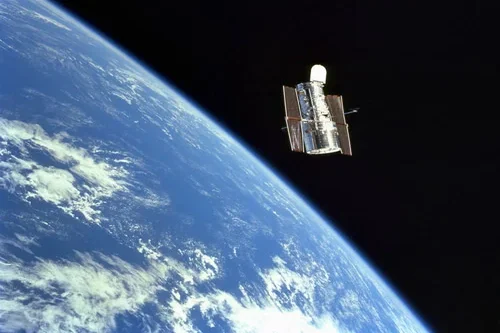
SatVu Advances Climate Resilience with High-Resolution Thermal Satellite Data
SatVu is expanding its Climate Resilience capabilities through high-resolution thermal satellite data designed to help governments, city authorities, non-governmental organizations, businesses and communities monitor urban heat and environmental change. Using data captured by the HotSat-1 satellite, the company provides 3.5-meter resolution thermal imagery that enables users to understand the effects of rising temperatures, identify environmental changes…
-

Omar Qaise Looks to Build OQ Technology Into a Sovereign European Pioneer of D2D
As the direct-to-device (D2D) market heats up, OQ Technology CEO and founder Omar Qaise wants the company to be a trusted, sovereign partner in D2D for European governments. OQ Technology is expanding on its existing IoT business to offer 5G D2D connectivity from space. The company has launched 12 satellite missions so far and is…
-
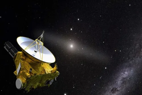
AAC Clyde Space Achieves First In-Orbit Imaging with VIREON-1 Constellation
AAC Clyde Space has achieved first light, demonstrating imaging capability in orbit with the VIREON-1 Earth Observation satellite. The satellite has completed several planned image acquisitions, with imaging data successfully downlinked to the ground. This marks an important step in the commissioning of the VIREON constellation and confirms that the satellite can perform the key…
-

SiriusXM Continues Refresh With SXM-11 Launch
SpaceX launched a new satellite for SiriusXM over the weekend, launching the SXM-11 mission on Sunday evening. The new satellite will be the highest power satellite in SiriusXM’s fleet. SpaceX launched the SXM-11 Geostationary Orbit (GEO) satellite on a Falcon 9 launch from Cape Canaveral Space Force Station on June 28. The mission launched at 10:25…
-

How does satellite data support precision agriculture?
Precision agriculture is an approach to farm management that seeks to optimize agricultural inputs, improve productivity, and enhance sustainability by accounting for variability within fields and across agricultural landscapes. Satellite data plays a central role in this process by providing timely, objective, and scalable information about crop conditions, soil characteristics, and environmental factors. Traditional farming…
-

Can satellite imagery help with yield prediction?
Satellite imagery has become an increasingly important component of agricultural yield prediction, enabling organizations to estimate crop production before harvest and gain earlier visibility into potential agricultural outcomes. By combining Earth observation data with agronomic models, weather information, and historical records, analysts can develop more accurate forecasts at field, regional, national, and global scales. Yield…
-

What indicators are used for vegetation and crop health analysis?
Vegetation and crop health analysis relies on a variety of indicators derived from satellite observations to assess plant vigor, productivity, stress levels, and overall agricultural performance. These indicators are typically generated using multispectral or hyperspectral imagery, which captures information across different wavelengths of light beyond what is visible to the human eye. One of the…
-
How can satellite data be used for crop monitoring?
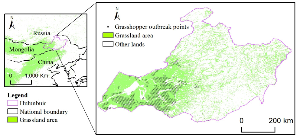
Satellite data has become one of the most valuable tools for modern crop monitoring, providing consistent, large-scale visibility into agricultural conditions throughout the growing season. By capturing observations of farmland from space, Earth observation systems enable farmers, agribusinesses, governments, and agricultural researchers to assess crop performance, identify emerging risks, and make more informed management decisions.…
-

How can organizations access satellite infrastructure without full ownership?
Organizations increasingly seek access to satellite capabilities without assuming the costs, risks, and operational responsibilities associated with full ownership. Advances in the commercial space sector have created multiple pathways for accessing satellite infrastructure through service-based, partnership-based, and financing-driven models. One of the most common approaches is Satellite-as-a-Service. Under this model, organizations access satellite-derived data, imagery,…
-
Is flexible payment available for geospatial data services?
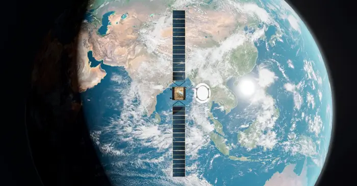
Flexible payment structures have become increasingly common across the geospatial and Earth observation industry as organizations seek solutions that align with operational needs, project timelines, and budget cycles. Rather than relying solely on traditional upfront purchases, many service providers now offer a range of commercial models designed to improve accessibility and financial predictability. The availability…