
Environment
-
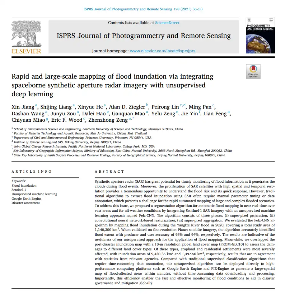
Can SAR Map Floods Without Manual Labels or Threshold Tuning?
Read more →: Can SAR Map Floods Without Manual Labels or Threshold Tuning?In brief: Conventional SAR-based flood mapping often runs into two obstacles: thresholds must be adjusted repeatedly by hand,…
-
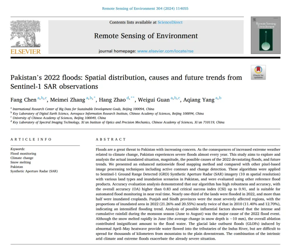
What Really Caused Pakistan’s 2022 Floods: Extreme Rainfall, Snowmelt, or Glacial Lake Outburst Floods?
Read more →: What Really Caused Pakistan’s 2022 Floods: Extreme Rainfall, Snowmelt, or Glacial Lake Outburst Floods?In brief: Published in Remote Sensing of Environment, this study does more than use Sentinel-1 data to map…
-
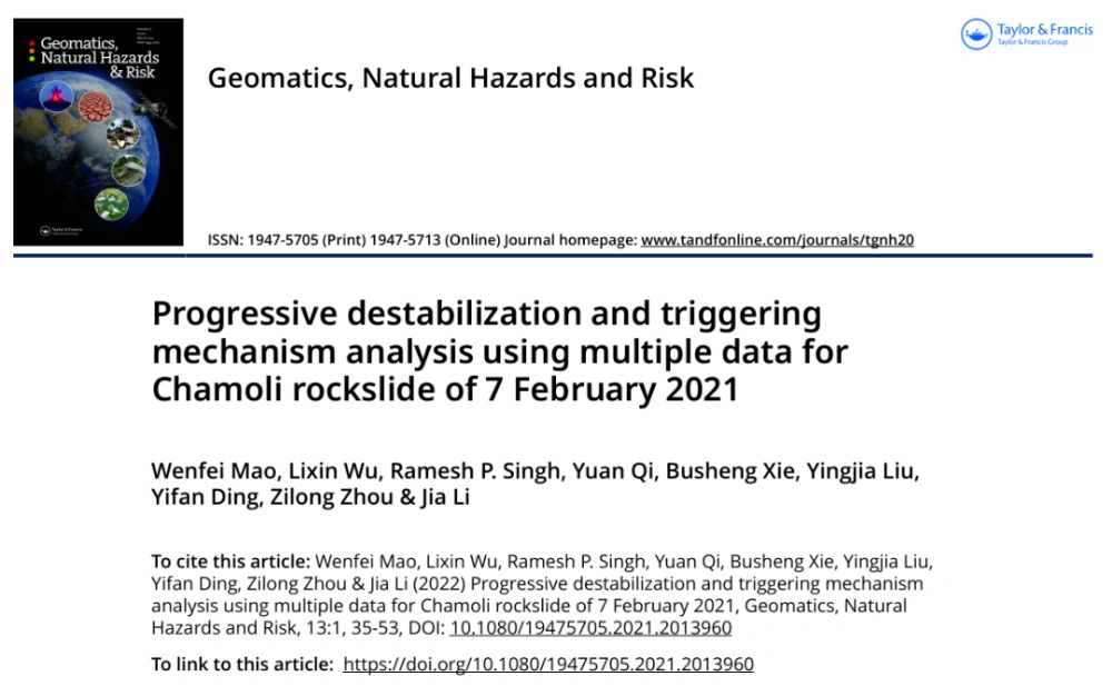
From Snow and Ice Retreat in 2010 to an Ice Avalanche in 2016 and Crack Coalescence Two Days Before the Disaster: How Satellites Reconstructed a Decade of Progressive Rock-Slope Failure
Read more →: From Snow and Ice Retreat in 2010 to an Ice Avalanche in 2016 and Crack Coalescence Two Days Before the Disaster: How Satellites Reconstructed a Decade of Progressive Rock-Slope FailureThe Chamoli slope did not suddenly fail on 7 February: Satellite data reveal a decade of progressive deterioration…
-
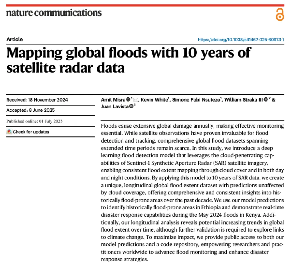
A Decade of Sentinel-1 Scanning the Globe: How Much Flooding Have We Been Missing?
Read more →: A Decade of Sentinel-1 Scanning the Globe: How Much Flooding Have We Been Missing?Key takeaway: Several global flood datasets already exist, but their long-term records rely primarily on optical remote sensing…
-
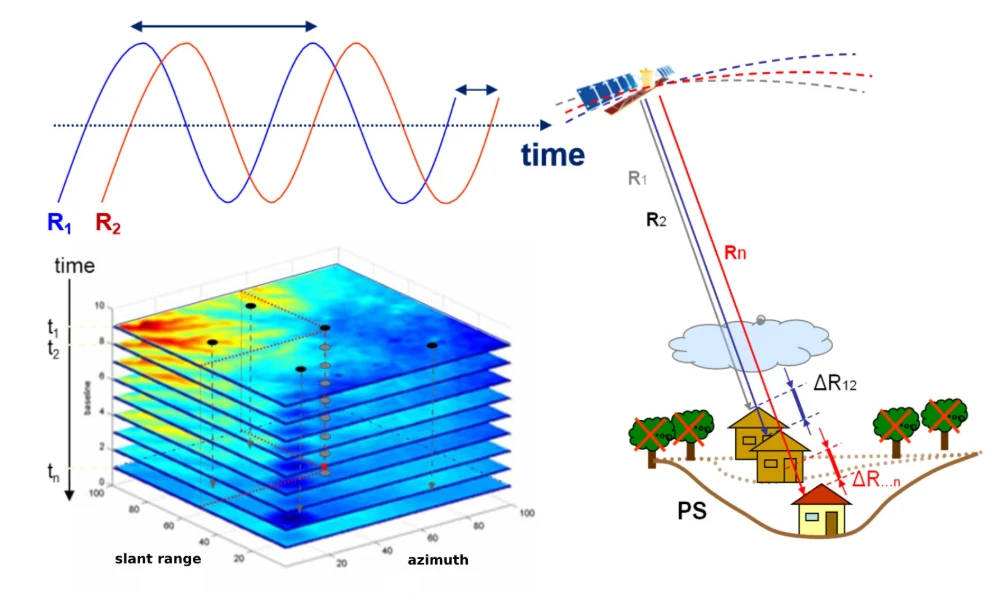
InSAR Monitoring for Infrastructure: Ground Subsidence and Geohazard Assessment
Read more →: InSAR Monitoring for Infrastructure: Ground Subsidence and Geohazard AssessmentAs the old saying goes, it’s better to catch a problem while it’s still small. For infrastructure such…
-
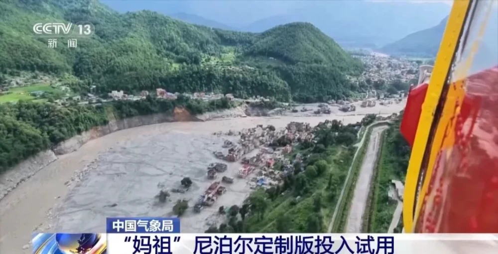
China Uses Fengyun Satellites and MAZU to Support Cross-Border Disaster Monitoring in Nepal
Read more →: China Uses Fengyun Satellites and MAZU to Support Cross-Border Disaster Monitoring in NepalOn Aug. 26, a high-altitude ice-and-rock avalanche occurred on the Nepalese side of the border, triggering a chain…
-
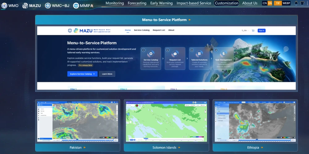
China’s MAZU System Brings AI-Powered Early-Warning Capabilities to Weather-Vulnerable Regions
Read more →: China’s MAZU System Brings AI-Powered Early-Warning Capabilities to Weather-Vulnerable RegionsChina is expanding an artificial-intelligence-based weather early-warning solution to developing countries, combining satellite observations, radar, buoy measurements and…
-
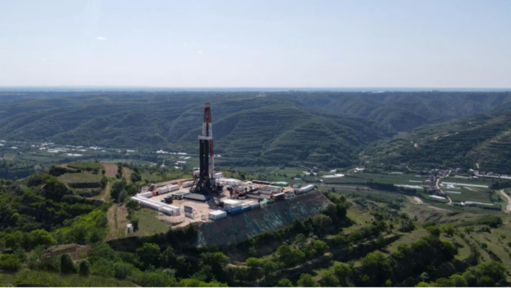
Green Mining | Six Scenarios Unlock New Paths for Green Mineral Exploration in China
Read more →: Green Mining | Six Scenarios Unlock New Paths for Green Mineral Exploration in ChinaIn recent years, China has vigorously promoted green mineral exploration, carrying out a series of initiatives in areas…
-
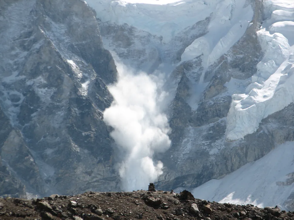
From Detecting Change to Assessing Risk: Satellite Remote Sensing for High-Mountain Hazards
Read more →: From Detecting Change to Assessing Risk: Satellite Remote Sensing for High-Mountain HazardsOn August 26, 2026, a cascading debris-flow disaster originating on the Nepal side of the China–Nepal border struck…
-
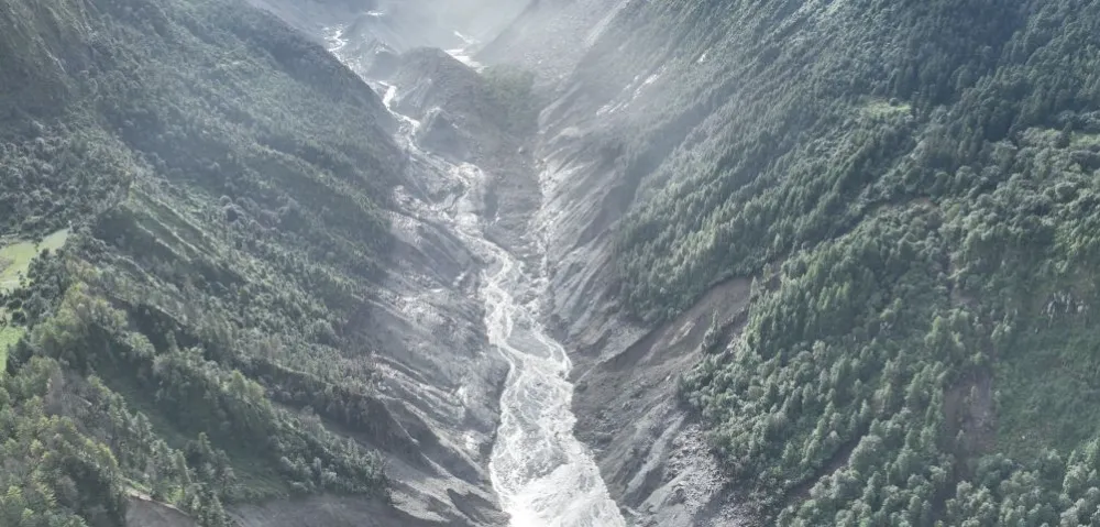
China–Nepal Border Flood: How Satellite Intelligence Supports Disaster Response When Roads and Communications Fail
Read more →: China–Nepal Border Flood: How Satellite Intelligence Supports Disaster Response When Roads and Communications FailInformation current as of August 28, 2026. The disaster mechanism, casualty figures, and damage estimates remain subject to…