
Blog
-
What do you mean by Medium Earth Orbit (MEO)?
Read more →: What do you mean by Medium Earth Orbit (MEO)?Medium Earth orbits (MEO) are Earth-centered orbits with an altitude from 2000 Km to 35,786 Km above the…
-
Using multiple sensors: What is a Tip and Cue Sensor?
Read more →: Using multiple sensors: What is a Tip and Cue Sensor?One of the best ways to utilize a multitude of sensors is through a process called Tip and…
-
Types of Earth Observation Data
Read more →: Types of Earth Observation DataFor over 60 years humans have been putting cameras and sensors into space to look back at our…
-
What resolution do I need when using satellite data?
Read more →: What resolution do I need when using satellite data?Trick question: it depends on what you are trying to do. What does resolution mean? The resolution of…
-
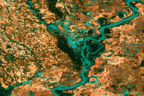
Improving flood forecasting with Earth observation data
Read more →: Improving flood forecasting with Earth observation dataImproving flood forecasting with Earth observation data is not only possible but it’s been done time and time…
-
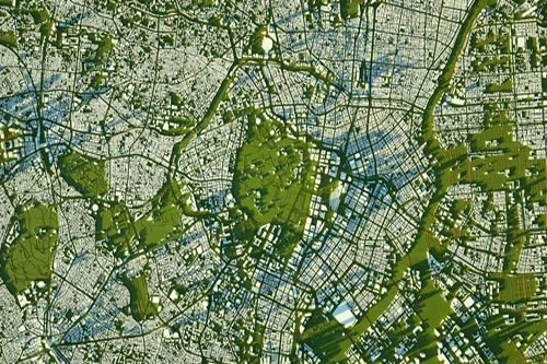
Estimating soil moisture from satellite data
Read more →: Estimating soil moisture from satellite dataSoil moisture estimates can help farmers assess plant health, aid in predicting crop yields, let governments can help…
-
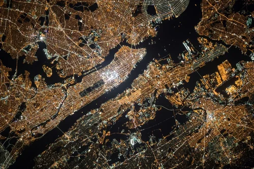
Using spatial and aerial imagery to estimate crop surfaces
Read more →: Using spatial and aerial imagery to estimate crop surfacesPolicymakers, researchers, and organizations need agricultural statistics to monitor production changes, plan future investments and interventions, and estimate…
-

The 5 Coolest Uses For Satellite Imagery
Read more →: The 5 Coolest Uses For Satellite ImageryA satellite image became available in 1972 when NASA launched the first Landsat mission. The technology has been…
-
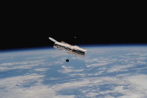
5 Ways to Use Satellite Data For Health
Read more →: 5 Ways to Use Satellite Data For HealthConversations about satellite data are usually geared around a few narrow industries. However, there is much more that…
-
Monitoring forest fires with satellites
Read more →: Monitoring forest fires with satellitesBetween November 2015 and April 2016, over 36,000 hectare of forest was burnt in the Republic of Congo.…