Category: Blog
-
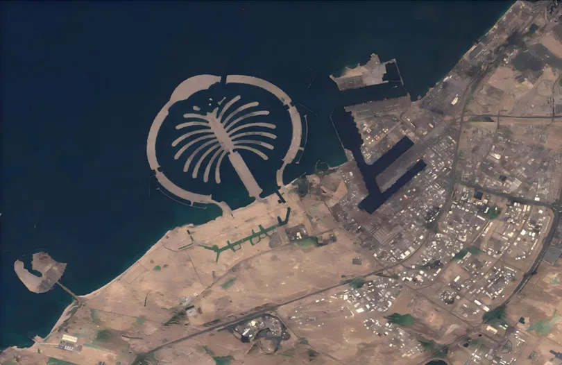
When the Desert Flooded: Satellite Imagery and the Future of Agricultural Flood Insurance
The April 2024 UAE floods stress-tested every traditional risk assessment model. STARPATH GLOBAL satellite imagery shows how Earth observation is transforming how agricultural insurers detect, verify, and price catastrophic flood events. Published: April 2024 · Region: United Arab Emirates · Data: STARPATH GLOBAL · USGS Event Background A once-in-75-year rainfall event On April 16, 2024,…
-
Mineral Exploration Reimagined: How Satellite Remote Sensing and AI Are Transforming Global Resource Discovery
In Canada and Australia, government-backed incentives have long been used to stimulate mineral exploration investment. Canada’s Mineral Exploration Tax Credit (METC), for example, allows investors in eligible flow-through shares to receive additional tax benefits, helping junior mineral exploration companies raise capital for early-stage exploration programs. According to the Government of Canada, the program supported more…
-
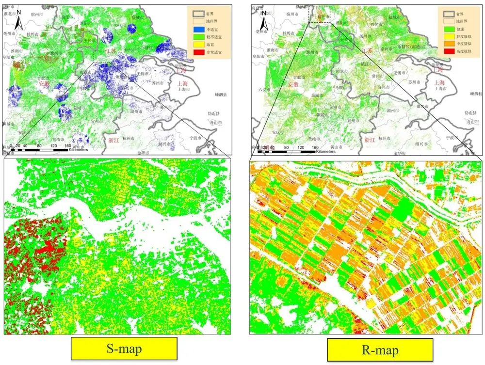
How to Monitor Crop Health Using Satellites: Transforming Modern Agriculture with Remote Sensing and AI
Several years ago, wheat farmers in Gansu Province, China, faced a familiar challenge. By the time they noticed yellow rust symptoms spreading across their fields, significant yield losses had already occurred. Traditional field inspections were slow, labor-intensive, and often unable to cover large agricultural areas. Today, however, the story is very different. Through advanced crop…
-
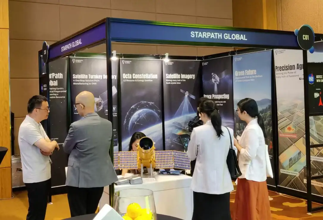
GSTCE 2026: StarPath Global Showcases Decade-Strong Commercial Space Capabilities to Global Partners
Singapore, May 2026 — StarPath Global participated in the Global Space Technology Convention & Exhibition (GSTCE) 2026 in Singapore, joining satellite operators, geospatial technology companies, and government stakeholders to explore the expanding role of Earth observation in resource management, infrastructure monitoring, and industrial operations. GSTCE 2026 brought together participants from across the international space industry, with…
-
StarPath Global Closes Serbia Space Expo with China’s Leading Space Firms, Targets Energy & Agriculture Cooperation
Chairman Jing Lv Delivers Address on Satellite Intelligence for Europe; Serbian Energy and Agriculture Ministries Signal Cooperation Intent Belgrade, Serbia, May 2026. StarPath Global was selected as the closing keynote speaker at Serbia’s 1st Commercial Space Science and Technology Exhibition (1st CSST, Belgrade), the country’s inaugural event of its kind and a landmark moment for Serbia’s…
-
From Orbit to Operational Intelligence One Partner, Complete Chain
Most Earth observation companies sell you data. We deliver outcomes — because we control every link in the chain from satellite manufacturing to the insight that lands on your desk. The commercial space industry has matured to a point where the hard problem is no longer putting a sensor in orbit. The hard problem is…
-
The Data Gap That Is Costing Your Country Billions
Every forest fire that spreads beyond control, every pipeline that fails before inspection, every harvest lost to disease that was visible from orbit weeks earlier — these are not failures of nature. They are failures of data. Across Southeast Asia and the Middle East, governments and corporations are making decisions about their most critical assets…
-
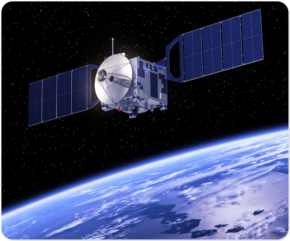
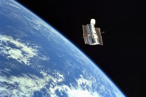
What are Space based Radars?
Space-Based Radars (SBRs) are radar systems that are deployed on satellites or spacecraft to observe Earth atmosphere, oceans, or other space objects from the orbit. Unlike ground station radars, SBRs operate from space, enabling extensive global coverage, high revisit rates, and all-weather monitoring capabilities. Space-based radar systems are designed to operate in the microwave and…
-
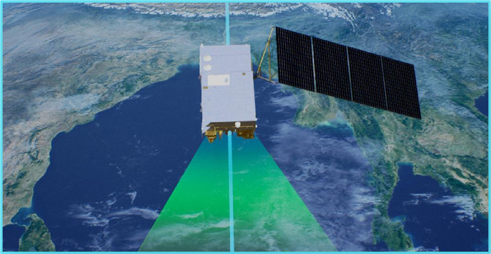
A Beginner’s Guide to Using Earth Observation Data
Look up at the sky. What do you see? Clouds, maybe a bird or a plane. Now imagine looking down from far above those clouds. You’d see construction sites taking shape, mines expanding, pipelines stretching across continents, storm systems forming offshore, and cities changing year by year. That perspective from space is what we call…
-
Evaluating Satellite Imagery Providers: What Enterprise Leaders Need to Know
Satellite imagery has moved far beyond the realm of government agencies and specialized scientific groups. Today, it’s a critical asset for enterprises across agriculture, insurance, energy, and logistics. If you need to monitor crop yields in Brazil, assess flood risk in Florida, or track shipping containers in Singapore, views from orbit provide the ground truth…