Category: Blog
-
Common Mistakes Business Users Make with Earth Observation Data (and How to Avoid Them)
The view from above is changing how we do business. Satellite imagery and remote sensing, collectively known as Earth observation (EO) data, are no longer just tools for spies or meteorologists. Today, hedge funds use them to count cars in retail parking lots, insurance companies use them to assess flood risk, and farmers use them…
-
How Satellite Imagery Helps Enterprises Stay Ahead of Regulatory Compliance
Regulatory compliance is rarely the most glamorous part of business operations, but for industries like mining, energy, and construction, it is arguably the most critical. One missed report or unnoticed environmental violation can lead to hefty fines, project shutdowns, or reputational damage. Traditionally, monitoring compliance meant sending teams into the field, which is expensive, time-consuming,…
-
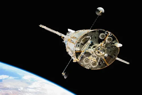
What is Payload Integration in CubeSats & Small Satellites?
A payload is the mission-specific equipment carried by a satellite to fulfill its primary objective. Unlike the satellite bus which provides power, communication, propulsion and control, the payload is the reason the satellite exists. The rapid growth of CubeSats and Small Satellites (SmallSats) has transformed access to space, enabling cost-effective missions for Earth observation, communications,…
-

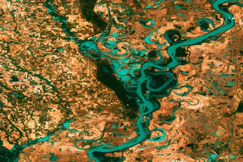
How Satellite Imagery Is Transforming Greenhouse Gas Monitoring and Carbon Crediting?
Satellite imagery helps in monitoring of greenhouse gases (GHGs) and delivers credible carbon crediting by providing independent evidence for measurement, reporting, and verification (MRV). It moves climate action from estimates and self-reporting to observation-based accountability. Greenhouse gases such as carbon dioxide (CO₂) and methane (CH₄) are responsible for the majority of climatic changes. While CO₂…
-
What are the different types of SAR Imaging techniques?
Several methods are used in Synthetic Aperture Radar (SAR) imaging, each of which is tailored for various applications such as terrain mapping, deformation monitoring, target detection, or change analysis. Stripmap SAR In stripmap SAR, the satellite travels along its orbit at a constant velocity. The radar antenna points at a fixed look angle relative to…
-
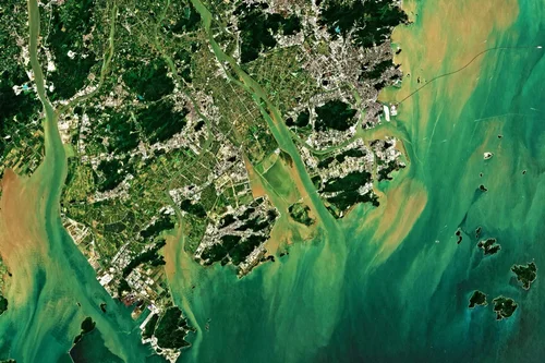
What is Synthetic Aperture Radar (SAR) Satellite Imagery?
Synthetic Aperture Radar (SAR) satellite imagery is a form of Earth observation data captured using active radar sensors mounted on satellites. SAR satellites send microwave radar signals toward the Earth’s surface and capture the reflected echoes, in contrast to optical satellites that depend on sunlight. This makes it possible for SAR systems to picture the…
-
Satellite Imagery Pricing: What You Need to Know
For project managers in mining, energy, and government, having the right data is not just an advantage, it’s essential for safety, compliance, and operational efficiency. Satellite imagery provides a powerful, objective view of your assets and areas of interest, enabling smarter decisions from the office to the field. But as you look to purchase satellite…
-
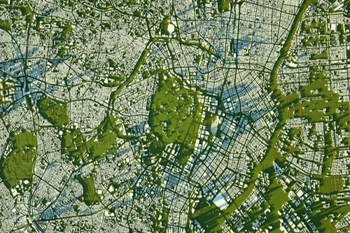
Highest Resolution Satellite Imagery: What You Should Know
Access to clear, precise geospatial data is completely changing how organizations work. For industries like mining, energy, government, and urban development, the ability to see our planet in amazing detail is a game-changer. Leaders can now make smarter, faster decisions that improve compliance, safety, and operational efficiency. Thanks to incredible advancements in technology, today’s highest…
-
What are Software-Defined Satellites and Their Role in Next-Generation Flexible and Reconfigurable Spacecraft?
The space industry has experienced a profound transformation with the emergence of software-defined satellites (SDS) which is a revolutionary approach to satellite design that emphasizes flexibility, adaptability and long-term mission resilience. Software-defined Satellites are equipped with programmable payloads, reconfigurable processors and software-driven architectures that can be modified even after launch. These satellites can adapt dynamically to…
-

What are Navigational Satellite Constellations and Their Importance in GPS, GNSS and Satellite Navigation?
Navigational satellite constellations serve as the foundational infrastructure for global positioning systems (GPS), global navigation satellite systems (GNSS) and other satellite-based navigation technologies. By providing precise positioning, navigation, and timing (PNT) services, these constellations have become indispensable across a wide spectrum of civilian, scientific and military applications. They guide aircraft, maritime vessels and ground transportation,…