
Blog
-
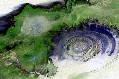
Changing the Oil and Gas Industry with Satellite Data
Read more →: Changing the Oil and Gas Industry with Satellite DataIn the oil and gas industry, site monitoring is an essential component of operating effectively and safely. Site…
-
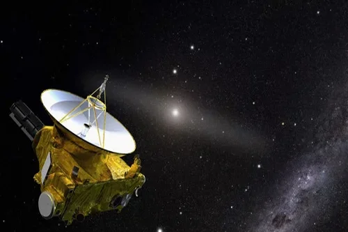
What are the most common satellite image processing techniques?
Read more →: What are the most common satellite image processing techniques?What are the most common satellite image processing techniques? Satellite image processing involves various techniques to enhance, analyze,…
-
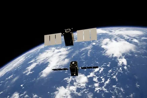
What is open data?
Read more →: What is open data?What is open data? Open Data refers to data that organizations provide at no charge, and often with…
-
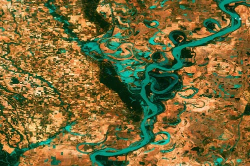
How Local Governments Use Satellite Data
Read more →: How Local Governments Use Satellite DataDid you know that state and local governments use satellite imagery to increase efficiency in operations? Satellite data…
-
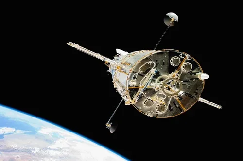
What is the difference between aerial and satellite imagery?
Read more →: What is the difference between aerial and satellite imagery?What is the difference between an aerial photo and a satellite image? Aerial photos and satellite imagery are…
-
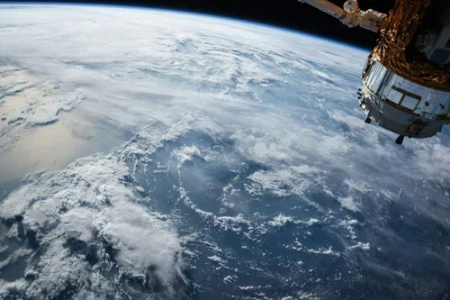
Advantages and Disadvantages of Remote Sensing
Read more →: Advantages and Disadvantages of Remote SensingRemote sensing, a powerful technology that allows us to gather information about the Earth’s surface or other objects…
-
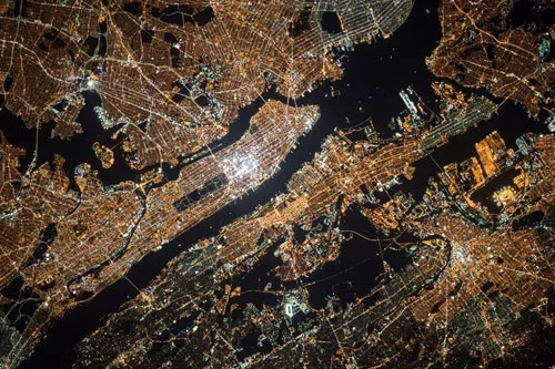
Explaining the Six Components of a Remote Sensing System
Read more →: Explaining the Six Components of a Remote Sensing SystemA remote sensing system has six components to gather valuable data. In an era of technological advancements, remote…
-

Canada’s Contribution to Space: A Look at Canadian Satellites
Read more →: Canada’s Contribution to Space: A Look at Canadian SatellitesMany countries contribute to space with satellites, but how many Canadian satellites exist? Canada has a long history…
-
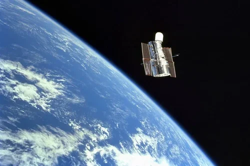
Capacitors in Space: Standards for Space Mission High-Reliability
Read more →: Capacitors in Space: Standards for Space Mission High-ReliabilityCapacitors used in space missions require stringent reliability standards due to the extreme conditions present in space, including…
-
Five Ways Satellite Imagery Is Transforming The Mining Industry
Read more →: Five Ways Satellite Imagery Is Transforming The Mining IndustryThe availability of satellite imagery has revolutionized how we understand what’s happening on our planet. From helping farmers…