
Tag: Emergency Management
-
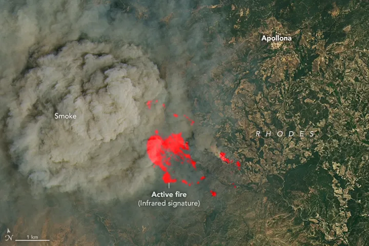
How Onboard AI Can Cut Hours from Wildfire Alerts
When a wildfire starts, the earliest response window can make an enormous difference. A small fire may still be manageable with limited resources; once wind drives it across the landscape, containment becomes harder, more dangerous and more expensive. That raises a practical question: with satellites orbiting Earth every day, why have satellite-based alerts sometimes taken…
-
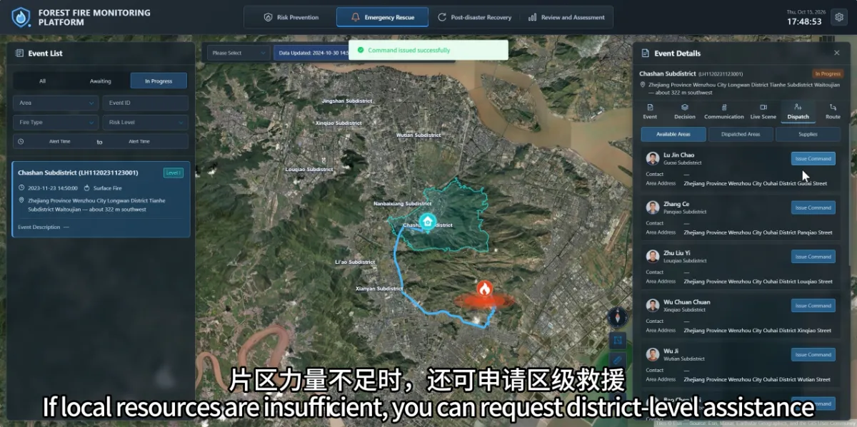
How Can the Platform Help Coordinate People and Supplies After a Wildfire Is Confirmed?
The platform brings together the fire location, area responsibilities, nearby teams and resource information, helping commanders understand what support may be available. After locating a fire, teams need to establish who should respond, which resources are required and how additional assistance can be coordinated. When this information is spread across phone records, paper lists and…
-
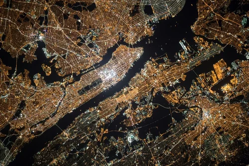
What Is Satellite Imagery? A Guide for Modern Businesses
From monitoring vast agricultural fields to planning the cities of tomorrow, the view from above offers unparalleled insights. Satellite imagery is transforming how industries operate, enabling organizations to make critical decisions with precision and foresight. These “eyes in the sky” provide a wealth of Earth observation data, driving efficiency, enhancing safety, and unlocking new possibilities.…