Tag: geospatial analysis
-
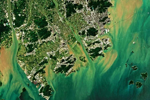
Cut Costs and Boost Efficiency in Renewable Energy Site Planning
As the world accelerates its transition to renewable energy, the need for strategic site selection and planning has never been greater. Solar farms, wind farms, and hydroelectric projects require careful consideration of environmental, geographical, and infrastructural factors to maximize efficiency and minimize impact. Traditionally, renewable energy site planning relied on field surveys and ground-based assessments—methods…
-
The New Standard in Solar Farm Monitoring: Faster, Safer, Smarter
As solar energy grows as a key renewable power source, monitoring and maintaining solar farms is essential. Doing this effectively helps maximize energy output and ensures long-term sustainability. Traditional monitoring often involves manual inspections and ground-based sensors, which can be expensive and time-consuming, and they may cover limited areas. However, satellite technology and remote sensing…
-

New Era of Oil Field Site Monitoring: Secure, Scalable, Smart
The oil and gas industry operates in some of the most challenging and remote environments on the planet. Ensuring efficiency, safety, and compliance in these locations requires constant monitoring. Traditionally, oil field site monitoring relied on on-ground inspections, aerial surveillance, and sensor-based systems. However, satellite imagery offers timely insights and large-scale coverage with unprecedented accuracy.…