
Tag: Land resource conservation
-
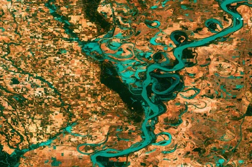
How Local Governments Use Satellite Data
Did you know that state and local governments use satellite imagery to increase efficiency in operations? Satellite data has become an indispensable tool for state and local governments to safeguard assets, conserve and manage their land resources, and react swiftly and effectively to unforeseen emergencies that may arise within their jurisdictions. With the help of…