Tag: satellite analytics
-
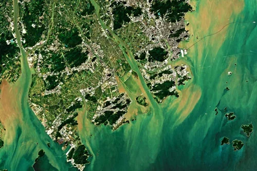
Can satellite analytics support smart city development?
Yes, satellite analytics can play a significant role in supporting smart city development by providing comprehensive geospatial intelligence that helps cities improve efficiency, sustainability, resilience, and quality of life. As urban areas become increasingly connected and data-driven, Earth observation technologies contribute valuable information that complements sensors, IoT networks, operational systems, and urban analytics platforms. Smart…
-
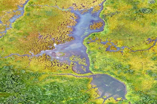
What environmental indicators can be derived from satellite analytics?
Satellite analytics can generate a wide range of environmental indicators that help organizations understand ecosystem conditions, monitor environmental change, assess sustainability performance, and support informed decision-making. By transforming raw Earth observation data into measurable environmental metrics, satellite analytics provides scalable and objective insights across diverse landscapes and environmental systems. Vegetation indicators are among the most…
-
What risks can satellite analytics detect in mining areas?
Satellite analytics can identify and monitor a wide range of operational, environmental, geotechnical, and infrastructure-related risks within mining regions. By combining high-resolution imagery, radar observations, time-series analysis, and advanced geospatial analytics, mining organizations can gain early visibility into potential threats and make more informed risk management decisions. One of the most significant risks monitored through…