
Tag: Satellite Imagery
-
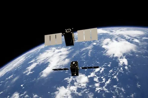
Monitoring animal populations from space
Using high-resolution satellite imagery, Peter Fretwell and his team began monitoring animal populations, creating the world’s first census of species taken from space in 2009. Then went on to repeat it. “We started with penguins, then have gone on to look at whales, then seals – we haven’t published much on seals yet. Now, we are working…
-
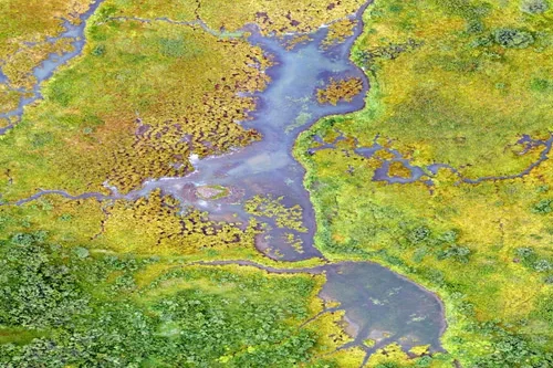
Counting Seals in Cape Cod With Satellites
In the early 1970s, grey seal populations were nearly extinct in North America. Since then, populations have rebounded. Until a few months ago, there was no accurate count of current populations because the number of animals has grown dramatically in the last few decades. During a project to monitor seal populations with cellphone tags —…
-
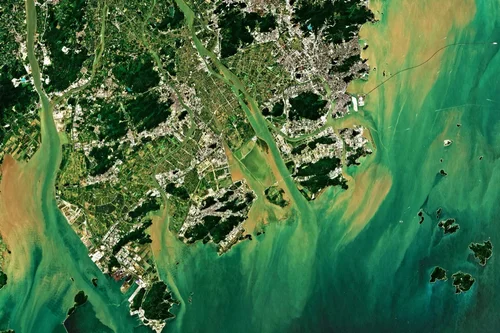
5 Benefits of Using Satellite Imagery Over Drones
According to Euroconsult, the global market for commercial Earth observation data and services will reach $8 billion by 2029, up from $4.6 billion in 2019. Understanding when to use satellite imagery over drones is key to making an informed decision when collecting this data type. Here are 5 benefits of using satellite imagery over drones…
-
Top Four Coolest Ways Satellite Imagery is Being Used
In honour of Earth Day, we’re highlighting the top four coolest ways satellite imagery is being used for environmental monitoring. Tasking satellite imagery goes beyond the image itself; it also collects and measures data to monitor change. Earth observation data is easily accessible for organizations wanting to track a geographical area. In these use cases,…