
Tag: UAV
-

ADIPEC 2026 Highlights Coordinated Inspections: Connecting Satellites, Drones and Ground Systems
As robots, drones and AI become part of everyday energy operations, attention is increasingly turning to how these technologies work together. At ADIPEC 2026, taking place in Abu Dhabi from November 2 to 5, the challenge extends beyond what individual devices can detect: how can operators coordinate inspections across widely dispersed assets and bring the…
-
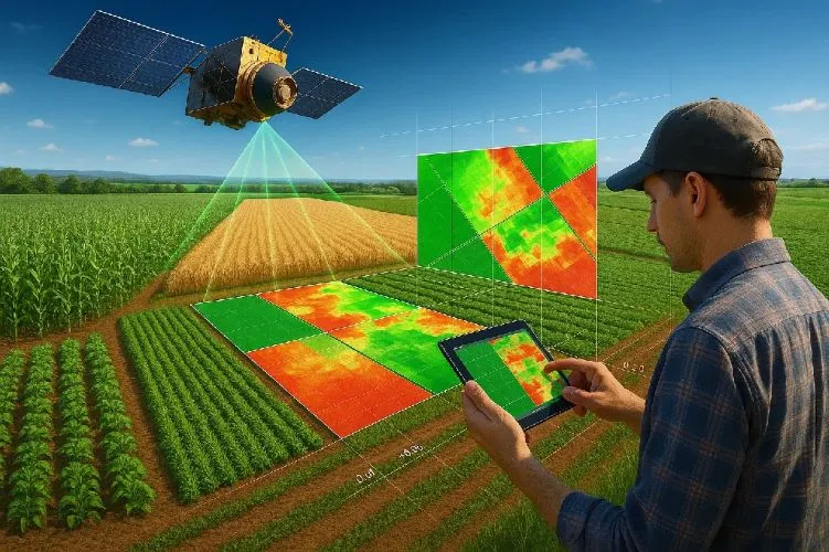
How does satellite data support precision agriculture?
Precision agriculture is an approach to farm management that seeks to optimize agricultural inputs, improve productivity, and enhance sustainability by accounting for variability within fields and across agricultural landscapes. Satellite data plays a central role in this process by providing timely, objective, and scalable information about crop conditions, soil characteristics, and environmental factors. Traditional farming…