Optical and Synthetic Aperture Radar (SAR) imagery are two of the most widely used forms of satellite data, but they differ significantly in how information is collected and the types of insights they provide.
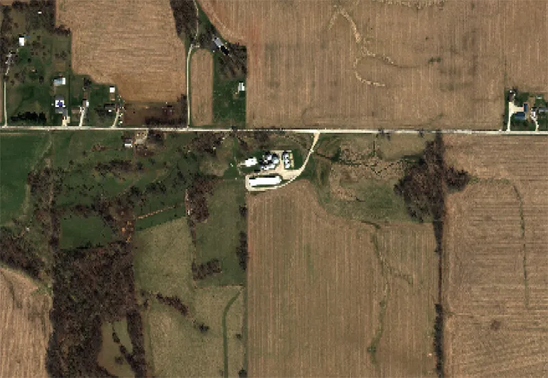
Optical imagery functions in a manner similar to traditional photography. Optical sensors capture reflected sunlight from the Earth’s surface across visible and, in many cases, near-infrared and shortwave infrared wavelengths. The resulting imagery resembles aerial photographs and is highly intuitive for visual interpretation. Users can easily identify roads, buildings, vegetation, water bodies, and other surface features based on their visual appearance.
Because optical imagery depends on sunlight, acquisitions are generally limited to daytime conditions. In addition, clouds, haze, smoke, and other atmospheric conditions can obstruct the sensor’s view of the Earth’s surface. As a result, obtaining cloud-free imagery can be challenging in regions with frequent cloud cover or during adverse weather events.
SAR imagery operates differently. Instead of relying on reflected sunlight, SAR systems actively transmit microwave signals toward the Earth’s surface and measure the returned signal. Because microwave energy can penetrate clouds and does not require daylight, SAR satellites can acquire data during both day and night and under most weather conditions.
This capability makes SAR particularly valuable for applications requiring consistent monitoring. Flood mapping, maritime surveillance, disaster response, infrastructure monitoring, and ground deformation analysis are common use cases. SAR data is also widely used in interferometric applications, where repeated observations are analyzed to measure subtle surface movements associated with subsidence, landslides, earthquakes, or mining activity.
The appearance of SAR imagery differs substantially from optical imagery. Rather than representing natural colors, SAR images display variations in radar backscatter, which are influenced by surface roughness, moisture content, geometry, and material properties. As a result, SAR data often requires specialized processing and interpretation techniques.
Neither technology is universally superior. Optical imagery excels in visual interpretation and land cover analysis, while SAR provides reliable all-weather monitoring capabilities. Many organizations use both data sources together to gain a more comprehensive understanding of environmental and operational conditions.
By combining optical and SAR imagery, users can benefit from both detailed visual information and continuous observation capability, creating a more robust Earth observation workflow for monitoring, analysis, and decision-making.