
Author: starpathwp-production
-
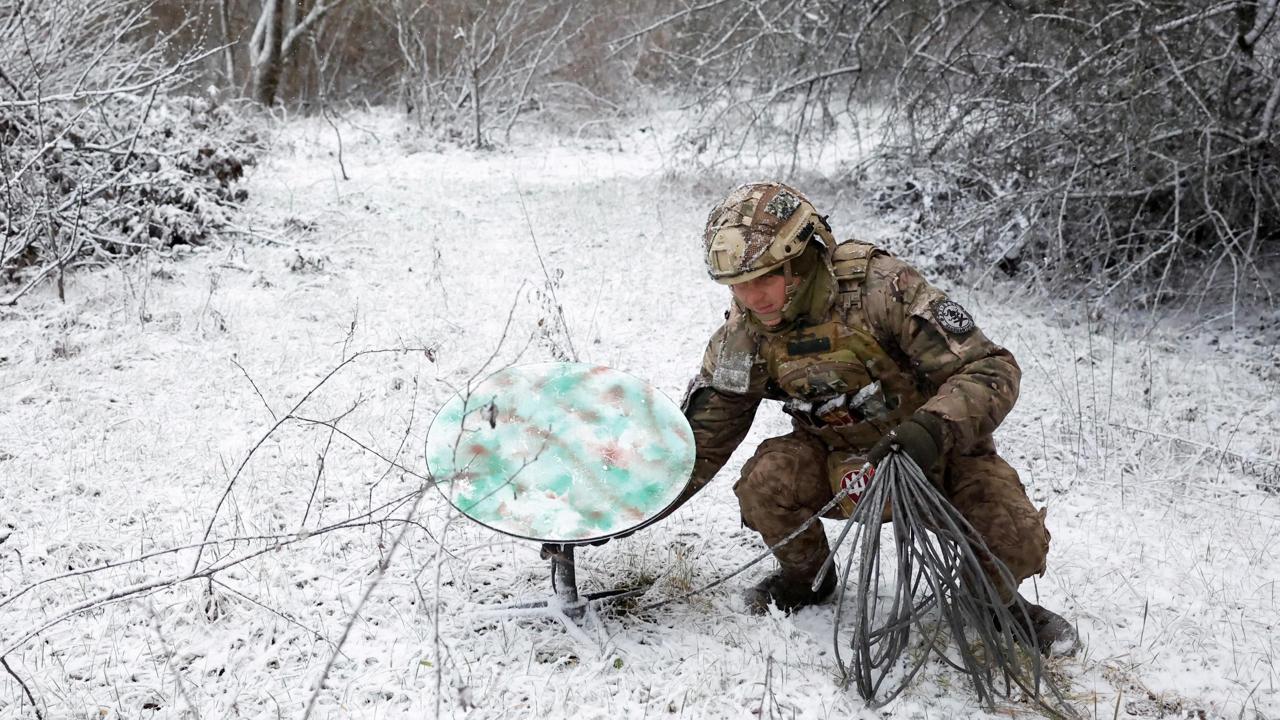
White House Ordered Slowdown of Starshield Service for Ukrainian Military, Officials Say
The officials, who spoke on condition of anonymity, did not specify who in the White House made the decision or who was responsible for carrying it out. The Pentagon is the largest customer of Starshield, the military grade version of the Starlink service developed by SpaceX specifically for government and national security customers. Starshield uses…
-

Ukraine Lobbies Trump to Keep Military Starlink as Russia Builds a Rival
Ukraine said SpaceX restricted military-grade Starlink services, a move Kyiv says has hampered drone strike missions and air defenses. The restriction prompted Ukraine to take its concerns to the White House, seeking continued access to the capability. The military tier of Starlink is distinct from the consumer service. Ukraine’s objection centers on the features that…
-

Space Command Headquarters in Alabama Now Estimated at $4 Billion
The headquarters project has been one of the most politically charged questions in military space, tied to a long-running dispute over where the command would be based. With that fight resolved and the command standing up its permanent footprint, the cost estimate has become the next focus of scrutiny. The Air Force is moving toward…
-

Reliance Rejects Claims It Is Blocking Starlink’s India Entry
The dispute centers on competing explanations for Starlink’s delayed entry. Musk raised questions about the holdup, while Reliance, led by Mukesh Ambani, pushed back against any suggestion that it is responsible for keeping the operator out. Reliance framed the delay as a matter of pending regulatory clearances rather than competitive maneuvering. Reliance Industries, led by…
-

Blue Origin Doubles Down on New Glenn With Four-Pad Florida Buildout
The expansion builds on roughly $3 billion Blue Origin has already invested in Florida facilities and infrastructure, largely to support construction and launch of New Glenn. The company now employs more than 5,000 people in the state and works with 500 suppliers there. Its manufacturing and operations footprint has more than doubled in the last…
-

Army Moves to Grow Space Operations Branch to Thousands of Soldiers
The Army established the Space Operations Branch in June, consolidating space-related career paths to train Soldiers to operate and deploy space systems. The move comes as the service seeks to deepen its own space expertise, having long relied on space capabilities to navigate terrain, communicate in hard-to-reach areas, and identify and strike targets. The 600…
-

Deep Learning Model Sharpens Forecasts for When Dead Satellites Fall to Earth
The work, published in Acta Astronautica, responds to a growing population of objects in low Earth orbit. By the end of 2025, low Earth orbit held 25,060 cataloged objects, nearly twice as many as a decade earlier, according to the European Space Agency. Many old satellites and spent rocket stages will eventually fall back without…
-
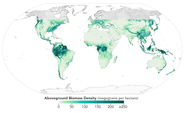
How to Validate Satellite-Based Forest Biomass Estimates
A forest biomass map can show convincing patterns without providing reliable estimates for a particular project. Before using it to assess forest resources or support carbon monitoring, the essential question is whether its predictions agree with independent reference data at the scale and date that matter. Validation requires more than extracting map values at forest…
-

Can You Use Pansharpened Imagery for NDVI and Land Cover Classification?
Yes, pansharpened imagery can be used for land cover classification and, under suitable conditions, NDVI analysis. Whether it should be used depends on the source bands, fusion method and evidence that the resulting product meets the requirements of the task. A sharper image can make roads, tree crowns and field boundaries easier to distinguish. That…
-
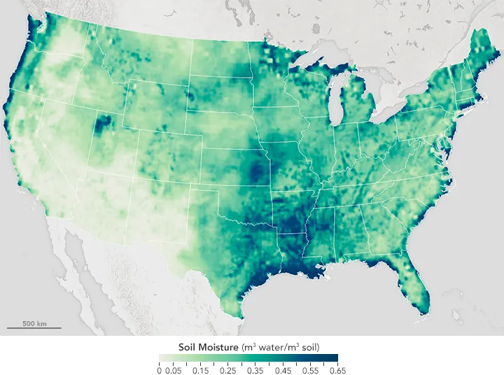
How Reliable Is Satellite Soil Moisture at Field Scale?
Satellite soil moisture can help identify drying trends, track surface wetting and prioritize agricultural inspections. Whether it can support decisions for an individual field depends on what the product estimates, the area each estimate represents and how it performs against local measurements. A map displayed at 30 metres does not necessarily contain independent 30-metre observations.…