Category: Blog
-
What is a Satellite Uplink?
In satellite telecommunications, the term “uplink” refers to the process of sending signals from a ground station to a satellite. This is a crucial part of satellite communication, enabling the transmission of data for various services, such as TV broadcasts and internet connectivity. Any signal sent from Earth to a satellite is categorized as an…
-
What is Cryogenic Temperature?
Cryogenic temperature refers to extremely low temperatures, typically below 120 Kelvin (-153.15°C), where materials exhibit unique physical properties that are not observed at higher temperatures. These properties include superconductivity, where certain materials conduct electricity without resistance; superfluidity, where fluids flow without viscosity; and significant changes in mechanical and electrical properties of materials. The study and…
-
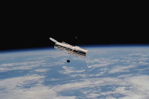
NEOWISE Spacecraft
The NEOWISE spacecraft, initially launched in 2009 with funding from NASA’s Planetary Science Division, began as the Wide-field Infrared Survey Explorer (WISE). This mission aimed to survey the entire sky in infrared light, capturing images of distant galaxies, cooler red dwarf stars, exploding white dwarfs, outgassing comets, and near-Earth objects (NEOs). Using four infrared wavelengths…
-
What is Joint Polar Satellite System (JPSS)?
The Joint Polar Satellite System (JPSS) is an advanced environmental satellite program developed by the National Oceanic and Atmospheric Administration (NOAA) in partnership with NASA. JPSS is a series of polar-orbiting satellites designed to monitor Earth’s atmosphere, oceans, and land surface with high precision. JPSS represents the next generation of polar-orbiting satellites that provide critical…
-

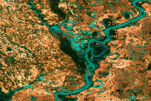
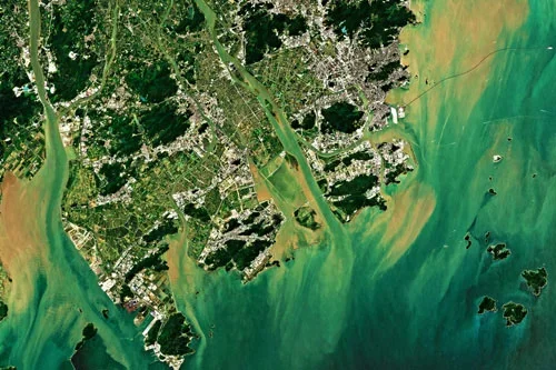
What are the 5 types of satellite images?
What are the 5 types of satellite images? When working with satellite imagery, you can categorize them into various types based on the data they capture and the purpose they serve. Here are five common types of satellite images: 1. Visible Light Images: These images capture the visible portion of the electromagnetic spectrum, including colours…
-

The Importance of Low-Noise Amplifiers (LNAs) in Satellite Communication Systems
Abstract In satellite communication systems, low-noise amplifiers (LNAs) are essential components that enhance weak signals received from satellites while reducing the amount of extra noise they introduce. The clarity and dependability of the received data depend on a high signal-to-noise ratio (SNR), which is maintained by these amplifiers. The importance of LNAs is examined in…
-
What is EO used for?
Earth observation refers to the collection of information about our planet’s physical, chemical, and biological systems using various technologies, such as satellites, aircraft, drones, and ground-based sensors. This data is gathered for a wide range of purposes and applications, including: 1. Environmental Monitoring: Climate change analysis: Tracking temperature, ice melt, sea level rise, and greenhouse…
-
What are the most common satellite image processing techniques?
What are the most common satellite image processing techniques? Satellite image processing involves various techniques to enhance, analyze, and extract information from satellite imagery. Some of the most common techniques include image enhancement classification change detection image fusion vegetation index calculation geometric correction feature extraction and data visualization These techniques help in tasks like aligning…
-
What is open data?
What is open data? Open Data refers to data that organizations provide at no charge, and often with very permissive licensing. An example would be Sentinel-2 data from the European Space Agency, which is multispectral data from their Sentinel-2 satellites provided at no charge from their Copernicus service, as well as from many other platforms,…
-
What is the difference between aerial and satellite imagery?
What is the difference between an aerial photo and a satellite image? Aerial photos and satellite imagery are two types of remote sensing data with different characteristics, advantages, and limitations. Aerial photos are captured at relatively low altitudes and offer higher spatial resolution than satellite imagery, which can provide global coverage and regular revisits to…