Category: Blog
-
What Is Temporal Resolution?
Temporal resolution, also known as re-visit rates, vary from different providers. Temporal resolution provides information on the time difference between the acquisitions of two images over the same area. Above all, the higher the temporal resolution, the shorter the time difference between the image acquisitions. Each satellite has a maximum number of visits per day…
-

What Is Low Resolution?
Low resolution refers to the spatial resolution of a satellite image. In simple terms, the resolution type will determine the clarity of your optical image. The smaller the pixel size, the more “clear” your image will look. Low resolution is the largest size per pixel offered by a satellite provider. The size of a pixel…
-
What Is Image Output?
Image output is about determining the color or bands and indices you want to obtain in order to gain valuable information about your AOI. When tasking a satellite, there are multiple options available: Multispectral outputs are made up of bands within the multispectral spectral ranges. The different options include true colour, false colour urban, false…
-
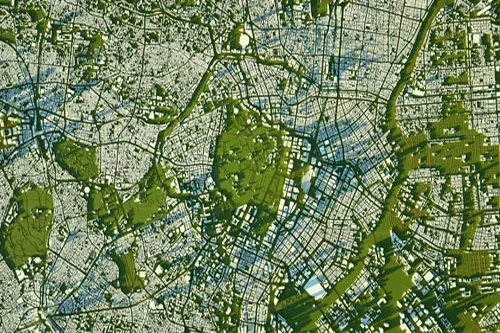
What Is Very High Resolution?
Very high resolution (VHR) refers to the spatial resolution size of a satellite image. In simple terms, the resolution type will determine the clarity of your optical image. The smaller the pixel size, the more “clear” your image will look. Very high resolution is one of the smallest sizes per pixel offered by a satellite…
-

What Is Remote Sensing?
In simple terms, remote sensing is the act of detecting objects in an area and measuring their movements from space. Remote sensing detects and monitors the physical characteristics of the ground by measuring its reflected and emitted radiation from a distance. The sensors used for remote sensing are generally mounted on satellites, aircraft and more…
-

What Is High Resolution?
High resolution refers to the spatial resolution size of a satellite image. In simple terms, the resolution type will determine the clarity of your optical image. The smaller the pixel size, the more “clear” your image will look. High resolution has a smaller size per pixel offered by a satellite provider. The size of a…
-
What are indices?
Indices are calculated using the multispectral bands. These calculations result in the outputs being in the form of an index with values between 0-1. At the same time, the indices provide additional information about the ground surface being imaged. There are four EarthCache outputs that are under the indices umbrella: NDVI, MSAVI2, EVI and NDWI2.…
-

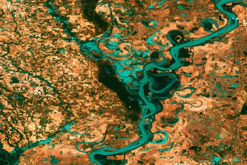
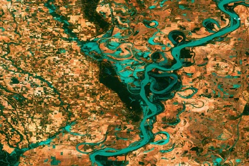
What Is Spectral Resolution?
Spectral resolution is the ability of a satellite sensor to detect distinct ranges of wavelengths in the electromagnetic spectrum. Essentially the radiation that the sensors receive from the ground can be detected across various wavelengths, including ultraviolet, visible (red, green, blue), infrared and microwave. Ranges of wavelengths are defined as bands in remotely sensed imagery.…
-
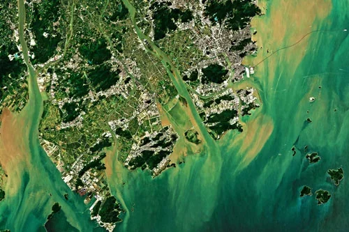
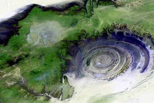
What Is Spatial Resolution?
Resolution refers to the spatial resolution a data product has. Spatial resolution can be defined as the amount of data on the ground a single image pixel represents. A 50cm spatial resolution product has 1 pixel representing a 50cm x 50cm area on earth. A 10m spatial resolution product has 1 pixel representing a 10m…
-
What Are Multispectral Outputs?
Multispectral outputs are made up of bands within the multispectral spectral ranges. The different options include true colour, false colour urban, false colour infrared, and all optical bands. True colour A true colour image combines the red, green, and blue bands. It’s a close representation of what humans see in real life. True colour is…