
Tag: maritime surveillance
-
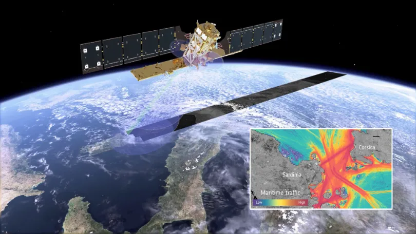
When Vessels “Disappear” from the Map: How Multi-Source Satellite Data Can Help Detect Maritime Smuggling
In May 2026, conventional vessel-tracking maps showed major information gaps around the Strait of Hormuz. The gaps did not necessarily mean that the vessels had left the area. According to Windward, dark-vessel activity in and around the Strait increased by nearly 600% between April 19 and May 3. On May 5, its multi-source analysis identified…
-

Unseenlabs Orders Two More RF Surveillance Cubesats From GomSpace
French radio frequency (RF) detection specialist Unseenlabs has awarded GomSpace a €2.2 million (US$2.5 million) contract to build two additional cubesats, further expanding its space-based maritime surveillance constellation. The satellites will be manufactured using GomSpace’s 8U cubesat platform and are scheduled for delivery in 2027. Constellation Expansion Continues The latest order increases the total number…
-
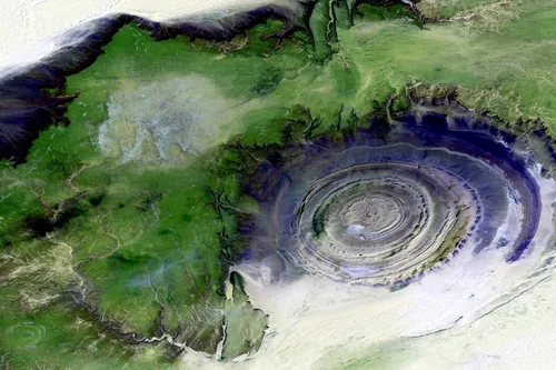
Marshall Islands Cuts Illegal Fishing Detection Time with SAR Satellites
How Did Marshall Islands Cut Illegal Fishing Detection Time by 90%? The Marshall Islands Marine Resources Authority reduced illegal fishing vessel detection time from weeks to hours during a 12-day enforcement campaign using commercial synthetic aperture radar (SAR) satellites. The operation covered 2 million square kilometers of Pacific waters surrounding the 181-square kilometer island nation,…