
Tag: precision agriculture
-
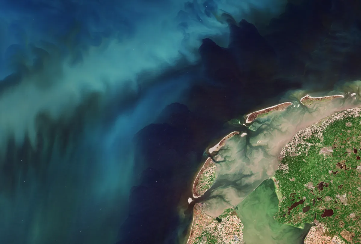
Is Sentinel-2 Detailed Enough for Small Fields? How to Check Before Monitoring
Sentinel-2 can support monitoring of some small agricultural fields, but field area alone cannot tell you whether it is detailed enough. A compact parcel may contain useful interior pixels, while a narrow parcel of the same area may be dominated by boundaries, neighbouring crops and field margins. The right test is whether the imagery provides…
-
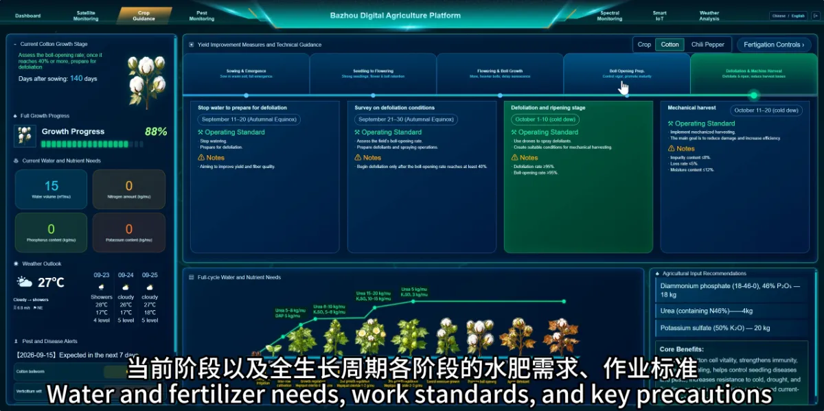
How Can the Platform Help Plan Farming Activities from Planting to Harvest?
The platform organises guidance around crop growth stages, helping farmers review current tasks and prepare for the next stage. This gives managers a shared reference for coordinating work across the growing season. Crop requirements change over time. Bringing stage information, management guidance and field records together makes it easier to connect monitoring with everyday operations.…
-
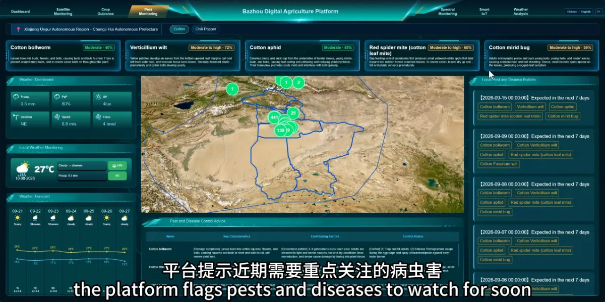
Can an Agricultural Monitoring Platform Help Identify Pest and Disease Risks Before They Become More Serious?
The platform can help farmers identify pests and diseases that deserve closer attention, supporting earlier and more targeted scouting. A risk indication helps teams decide what to look for; field verification establishes whether a problem is present. This is particularly useful when managing multiple fields or following risks that change with weather and crop development.…
-
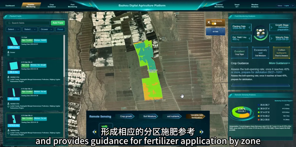
Why Consider Different Fertilizer Applications Within the Same Field?
Different parts of a field may have different nutrient conditions and crop needs. Reviewing these differences can help farmers decide whether fertilizer management should vary by zone. A uniform application may be straightforward, but it does not account for every difference in soil conditions or crop development. Monitoring provides information that can support a more…
-
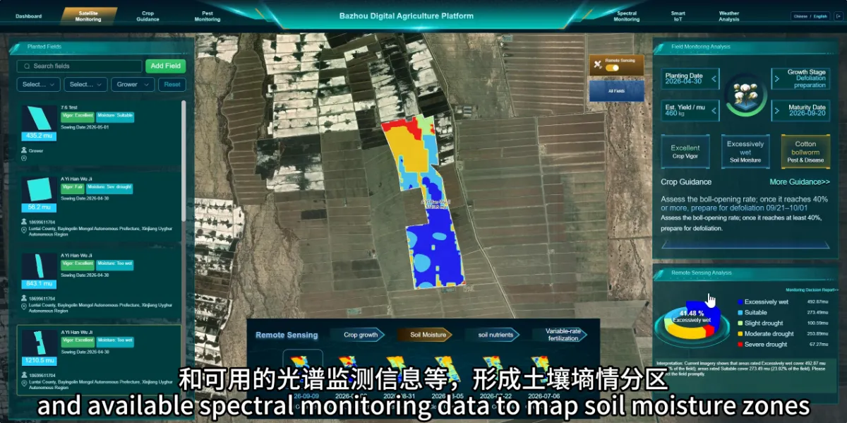
How Can Satellite Agricultural Monitoring Help Identify Areas That May Need Irrigation or Drainage?
Monitoring can help identify areas where water conditions deserve closer investigation. This gives farmers a more focused starting point for checking whether parts of a field need additional water or drainage. Conditions can vary within a single field. Applying the same response everywhere may overlook differences that matter to crop performance. How does the platform…
-
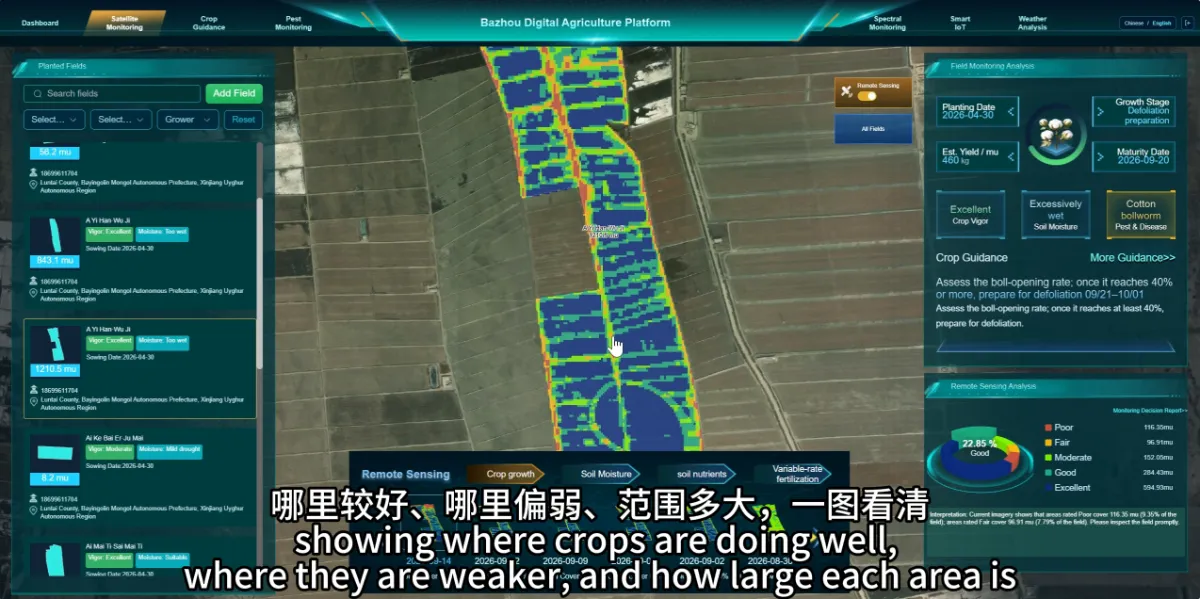
Can Satellite Monitoring Show Which Parts of a Field Are Growing Well and Which Need Attention?
Satellite monitoring can help reveal differences in crop condition within the same field. Growth maps make these differences easier to locate and compare, helping farmers decide where closer inspection is needed. A field may look broadly uniform from its edge while containing areas with different crop conditions. Mapping those variations gives staff a more focused…
-
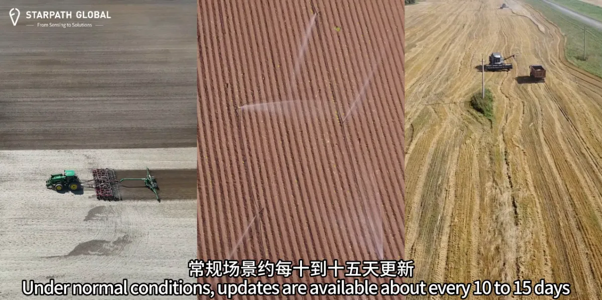
How Often Can Satellites Monitor Farmland, and Can Updates Support Critical Farming Operations?
Monitoring frequency should match the crop, growth stage and management decisions involved. Routine crop monitoring and checks during a critical period may require different observation schedules. The important question is whether usable information will be available in time to support a particular decision, such as arranging a field inspection or reviewing irrigation needs. How often…
-
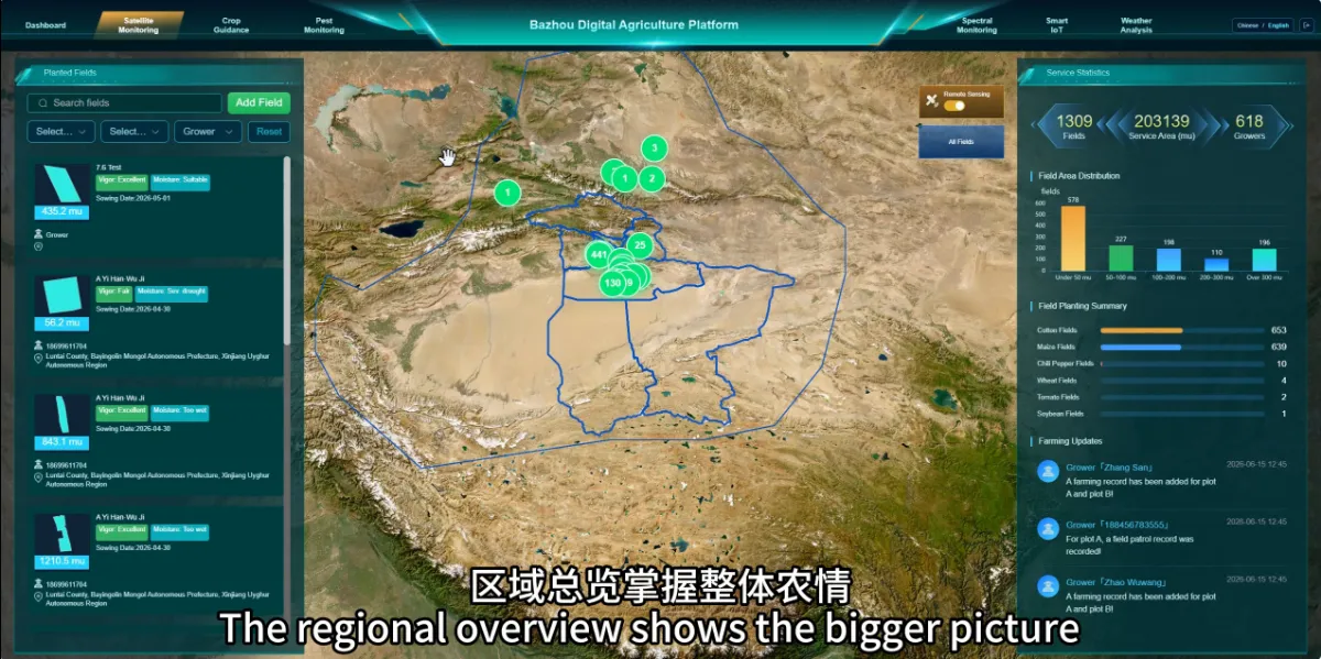
Why Do We Need Satellite Agricultural Monitoring If We Already Inspect Our Fields?
Satellite monitoring helps farmers see differences across their land and decide where field inspections should focus. It provides a wider view that complements the detailed knowledge gained by walking through crops. For farms with large or scattered fields, inspecting every location equally often can be difficult. Satellite observations help teams review conditions across multiple fields,…
-
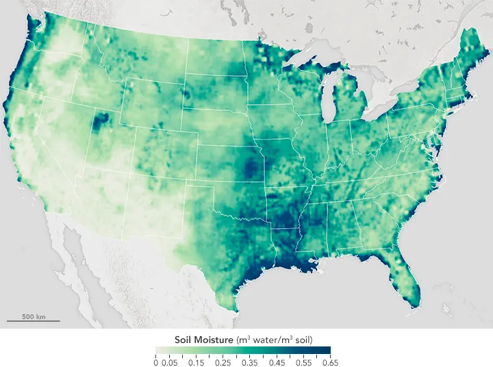
How Reliable Is Satellite Soil Moisture at Field Scale?
Satellite soil moisture can help identify drying trends, track surface wetting and prioritize agricultural inspections. Whether it can support decisions for an individual field depends on what the product estimates, the area each estimate represents and how it performs against local measurements. A map displayed at 30 metres does not necessarily contain independent 30-metre observations.…
-
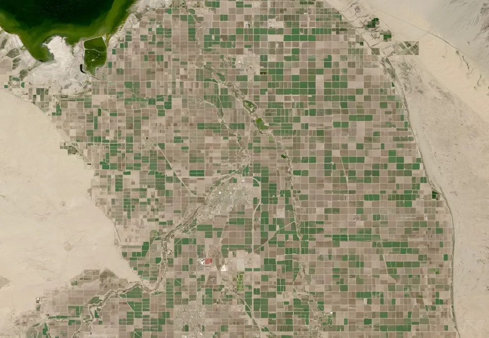
What Can Satellite Imagery Actually Tell You About Crop Health?
Satellite imagery can reveal where crop growth is uneven, how vegetation changes through the season, and which areas deserve closer inspection. It can also support estimates of canopy cover, biomass and water-related conditions. But a vegetation map does not, by itself, establish whether a crop is diseased, short of water or likely to produce a…