
Blog
-
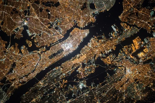
What Is Satellite Imagery? A Guide for Modern Businesses
Read more →: What Is Satellite Imagery? A Guide for Modern BusinessesFrom monitoring vast agricultural fields to planning the cities of tomorrow, the view from above offers unparalleled insights.…
-
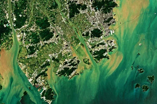
Cut Costs and Boost Efficiency in Renewable Energy Site Planning
Read more →: Cut Costs and Boost Efficiency in Renewable Energy Site PlanningAs the world accelerates its transition to renewable energy, the need for strategic site selection and planning has…
-
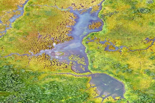
The New Standard in Solar Farm Monitoring: Faster, Safer, Smarter
Read more →: The New Standard in Solar Farm Monitoring: Faster, Safer, SmarterAs solar energy grows as a key renewable power source, monitoring and maintaining solar farms is essential. Doing…
-
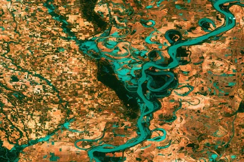
Revolutionizing Clean Energy: Wind Farm Mapping Tools That Deliver Results
Read more →: Revolutionizing Clean Energy: Wind Farm Mapping Tools That Deliver ResultsAs the world races toward decarbonization, wind energy has emerged as a vital pillar in the global transition…
-
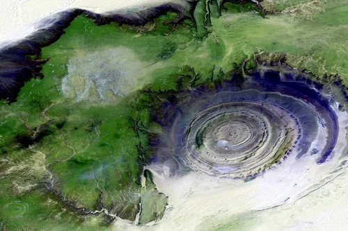
Solar Farm Site Selection Made Easy with Satellite Intelligence
Read more →: Solar Farm Site Selection Made Easy with Satellite IntelligenceWith the global push towards renewable energy, solar farms have become an essential part of the transition to…
-
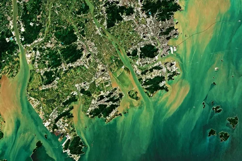
Enhancing Asset Monitoring in Oil and Gas with Satellite Technology
Read more →: Enhancing Asset Monitoring in Oil and Gas with Satellite TechnologyEnhancing Asset Monitoring in Oil and Gas with Satellite Technology The oil and gas industry relies on vast…
-
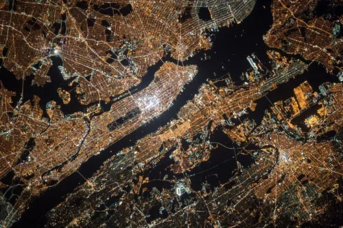
Oil and Gas Infrastructure Monitoring That Delivers Results
Read more →: Oil and Gas Infrastructure Monitoring That Delivers ResultsOil and gas infrastructure monitoring is essential for maintaining the safety, efficiency, and sustainability of energy operations. With…
-
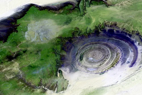
Remote Sensing for Oil Pipeline Monitoring: What You Need to Know
Read more →: Remote Sensing for Oil Pipeline Monitoring: What You Need to KnowExample: Monitoring Oil Pipeline Infrastructure with Satellite Imagery An oil pipeline operator managing a 500-mile pipeline corridor across…
-
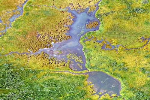
Drones vs Satellites: What’s Better for Project Site Monitoring?
Read more →: Drones vs Satellites: What’s Better for Project Site Monitoring?In the Architecture, Engineering, and Construction (AEC) industry, project site monitoring is critical for maintaining timelines, managing resources,…
-
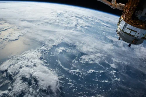
The Need for Environmental Impact Assessments of Oil Fields
Read more →: The Need for Environmental Impact Assessments of Oil FieldsEnvironmental impact assessments of oil fields are a common practice in the industry due to the risks involved…