
Tag: Coastal Monitoring
-
Can Satellite Imagery Measure Shallow-Water Depth?
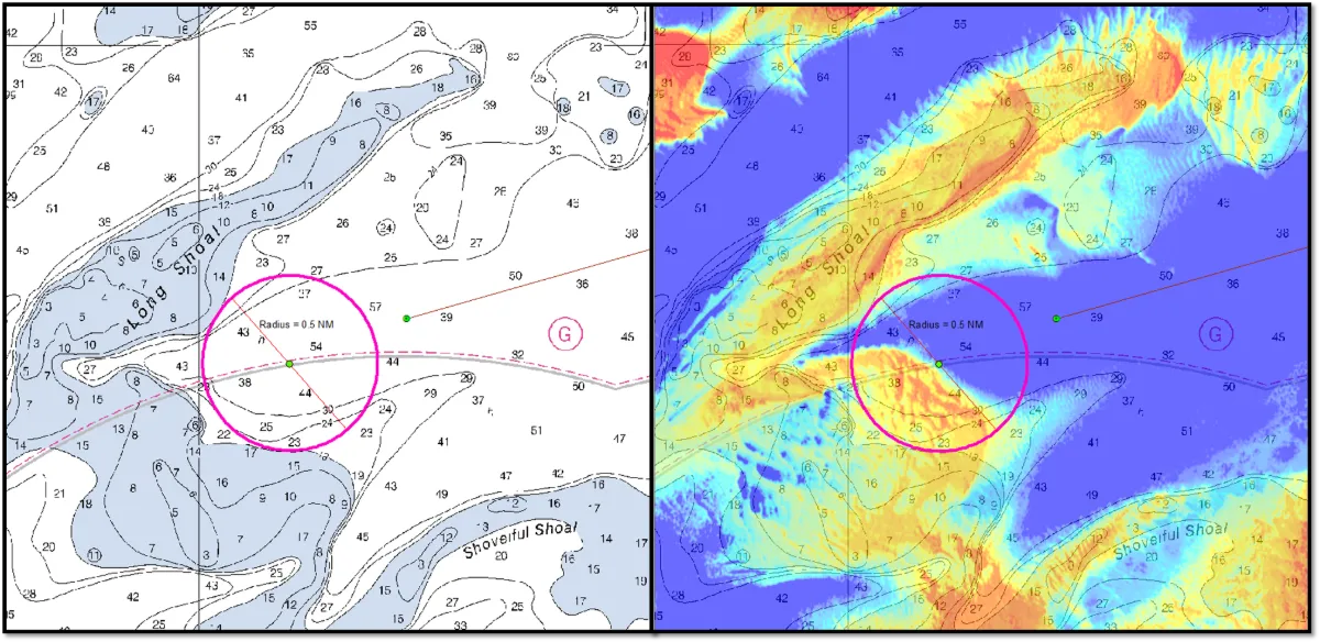
Yes, satellite imagery can estimate shallow-water depth where enough light reaches the bottom and returns to the sensor. This approach, known as satellite-derived bathymetry (SDB), can help map coastal shallows, identify possible shoals and prioritize areas for detailed surveys. Its usefulness depends on water clarity, bottom conditions, image quality and validation against reliable depth measurements.…
-
How to Measure Shoreline Change Without Mistaking Tides for Erosion
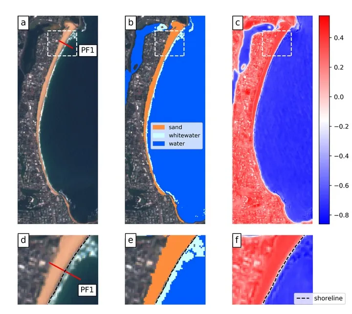
A shoreline can move landward between two satellite images even when the beach has lost no sediment. A higher tide, stronger wave run-up or a different position within the seasonal beach cycle can all change where water meets land. Measuring coastal change therefore requires more than extracting a clean boundary. The measurement must follow a…