
Tag: Flood Mapping
-
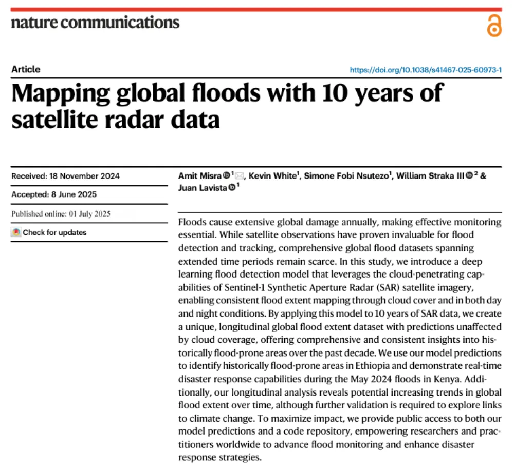
A Decade of Sentinel-1 Scanning the Globe: How Much Flooding Have We Been Missing?
Key takeaway: Several global flood datasets already exist, but their long-term records rely primarily on optical remote sensing from satellites such as MODIS and Landsat. Yet the most severe floods often occur under thick cloud cover. The real question this study seeks to answer is not “How can we detect floods one more time?” but…