
Tag: GIS
-
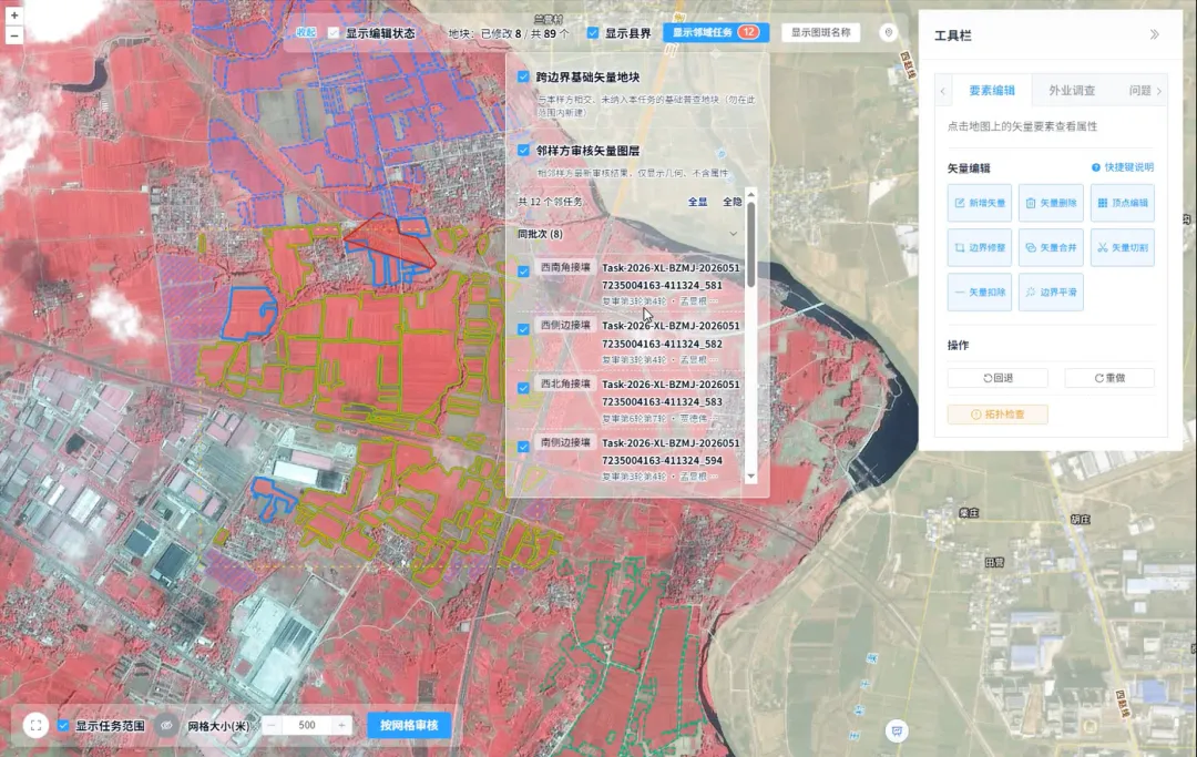
How Is Every Field Accurately Verified? China Uses Remote Sensing for Its Fourth National Agricultural Census
Remote sensing technology has given agricultural censuses “eyes in space,” but satellite imagery alone cannot produce agricultural data with 100% accuracy. Misaligned field boundaries, omitted or duplicated polygons, crop misclassification, and cloud cover obscuring ground conditions are all unavoidable challenges in remote sensing interpretation. These issues emerged during the remote sensing survey verification for China’s…
-

What utility infrastructure can be tracked using geospatial intelligence?
Geospatial intelligence provides utilities with a powerful framework for tracking, mapping, and managing a wide range of infrastructure assets. By combining satellite imagery, remote sensing technologies, GIS platforms, and advanced analytics, utility operators can maintain visibility across extensive networks while improving operational efficiency and decision-making. Electric power infrastructure is among the most commonly monitored asset…
-

How can satellite data be used for power grid monitoring?
Satellite data has become an increasingly valuable tool for power grid monitoring, providing utility operators with broad-area visibility into transmission networks, substations, generation facilities, and surrounding environmental conditions. As power infrastructure expands across large geographic regions and utilities face growing demands for reliability and resilience, Earth observation technologies offer scalable monitoring capabilities that complement traditional…
-
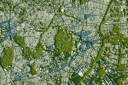
How can satellite data support city planning and expansion monitoring?
Satellite data has become an increasingly important resource for city planning, urban management, and expansion monitoring. As urban populations continue to grow and cities face increasing demands on infrastructure, housing, transportation, and public services, Earth observation technologies provide planners and decision-makers with timely, objective, and large-scale insights into how urban environments are evolving. One of…
-
How is facility monitoring improved with satellite intelligence?
Satellite intelligence significantly enhances facility monitoring by providing continuous, objective, and scalable visibility into oil and gas infrastructure throughout its operational lifecycle. From upstream production sites and processing facilities to storage terminals, pipelines, and export hubs, Earth observation technologies help organizations improve situational awareness, operational efficiency, asset protection, and risk management. One of the primary…
-
How can satellites monitor oil and gas pipelines?
Satellite technology has become an increasingly important component of pipeline monitoring programs across the oil and gas industry. With thousands of kilometers of pipelines often crossing remote deserts, forests, mountains, wetlands, and offshore environments, maintaining continuous visibility over critical infrastructure can be challenging using traditional inspection methods alone. Satellite monitoring provides a scalable and cost-effective…
-
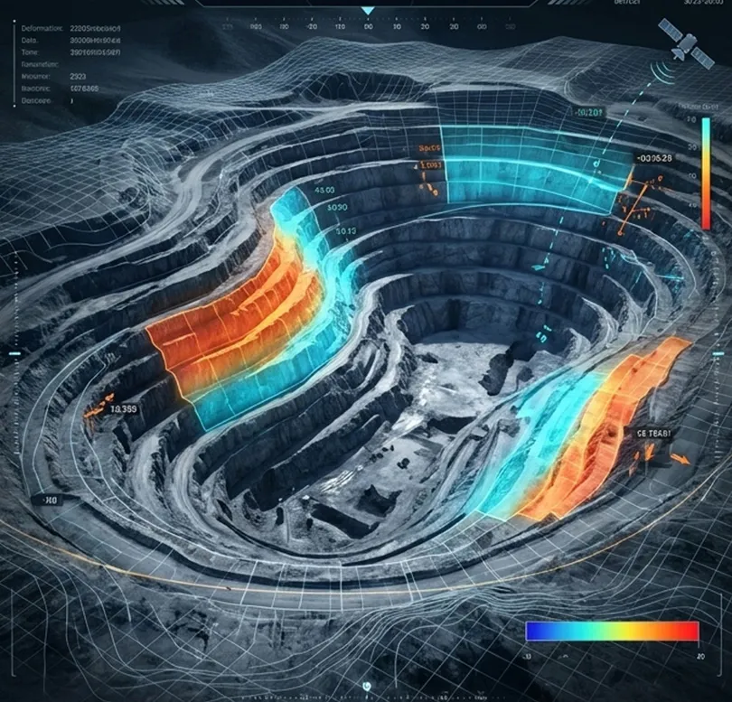
How is satellite data used in mining site monitoring?
Satellite data has become an essential tool for mining site monitoring, providing continuous visibility into mining operations across exploration, development, production, and closure phases. By delivering objective and repeatable observations over large geographic areas, Earth observation technologies enable mining companies, regulators, investors, and environmental organizations to monitor activities efficiently while reducing the need for frequent…
-
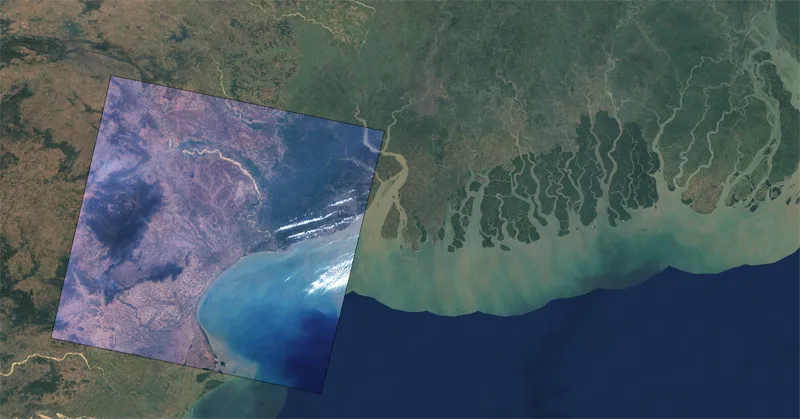
In which formats can satellite imagery be delivered?
Satellite imagery can be delivered in a variety of formats designed to support different analytical workflows, software platforms, and enterprise data environments. The choice of format depends on how the imagery will be stored, processed, visualized, or integrated into operational systems. One of the most widely used formats is GeoTIFF. GeoTIFF combines raster imagery with…
-
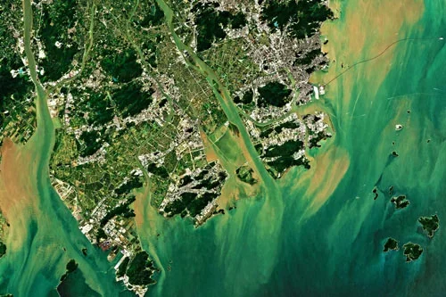
Cut Costs and Boost Efficiency in Renewable Energy Site Planning
As the world accelerates its transition to renewable energy, the need for strategic site selection and planning has never been greater. Solar farms, wind farms, and hydroelectric projects require careful consideration of environmental, geographical, and infrastructural factors to maximize efficiency and minimize impact. Traditionally, renewable energy site planning relied on field surveys and ground-based assessments—methods…
-
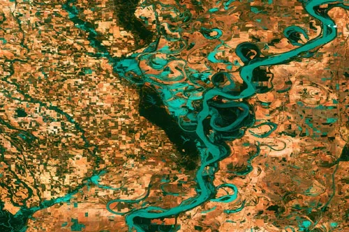
Revolutionizing Clean Energy: Wind Farm Mapping Tools That Deliver Results
As the world races toward decarbonization, wind energy has emerged as a vital pillar in the global transition to clean power. With governments setting aggressive renewable energy targets and utilities seeking dependable energy sources, wind farms are popping up across coastlines, plains, and mountain ridges. However, siting and developing a successful wind project involves more…