
Author: starpathwp-zyj
-
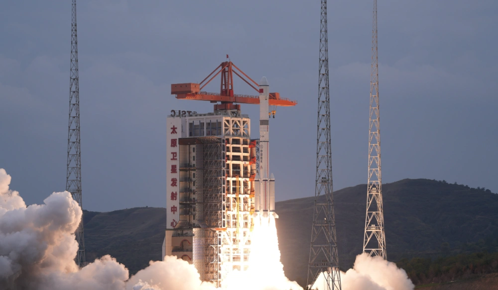
China Successfully Launches Remote-Sensing Satellite 40 Group 04 on Long March 6A Rocket
China launched the Remote-Sensing Satellite No. 40 Group 04 at 4:46 p.m. Beijing Time on September 24, 2026, using a Long March 6A rocket from the Taiyuan Satellite Launch Center. The satellites entered their planned orbit and will primarily conduct electromagnetic environment detection and related technology experiments. Chinese authorities did not disclose the number of…
-

China Sets 2030 Targets for Next-Generation Communications and Low-Earth-Orbit Satellite Internet
China will accelerate construction of low-Earth-orbit satellite internet systems and integrate satellite networks more closely with terrestrial communications infrastructure under its 15th Five-Year Plan, including the development of direct-to-device satellite services and satellite Internet of Things applications. The space-based network will form part of a wider program to establish a high-performance national communications system by…
-
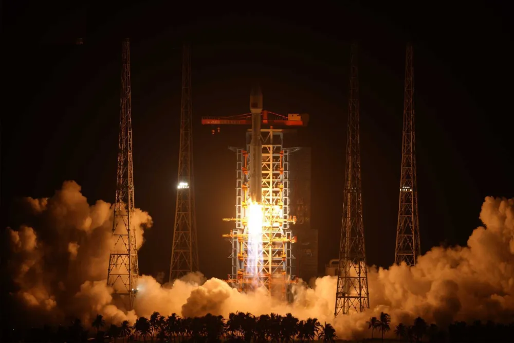
China Launches Satellite Internet LEO Group 26 on Long March 8A (Video)
China launched its 26th group of low-Earth-orbit satellite internet spacecraft aboard a Long March 8A rocket at 9:32 p.m. Beijing time on September 23, 2026. The rocket lifted off from the Hainan Commercial Space Launch Site and successfully placed the satellites into their designated orbit, continuing the country’s accelerated deployment of space-based broadband infrastructure. The…
-
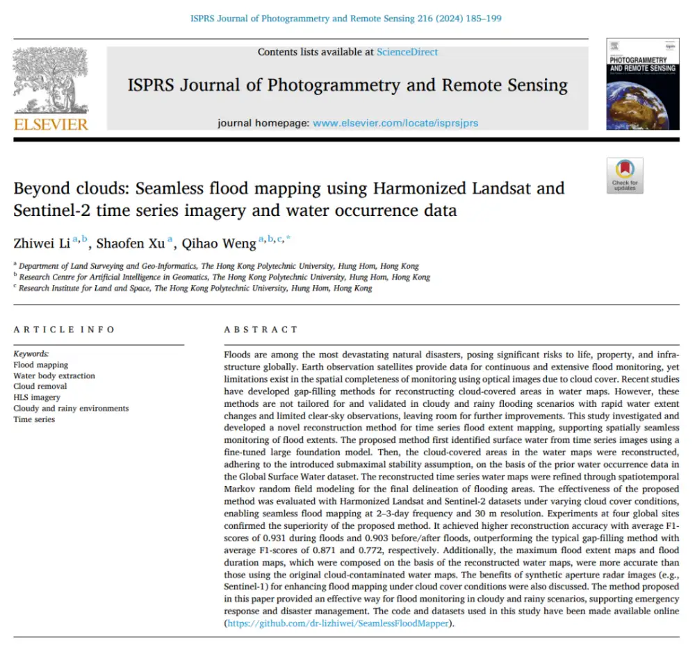
Can Optical Satellites Keep Tracking Floods When Clouds Block the View?
In brief: Landsat and Sentinel-2 can capture flood details well, but they are most vulnerable to the very condition that often accompanies major flooding: cloud cover. Rather than trying to generate a visually plausible cloud-free optical image, this study directly reconstructs whether the surface beneath the clouds is water or non-water. The researchers combined Harmonized…
-
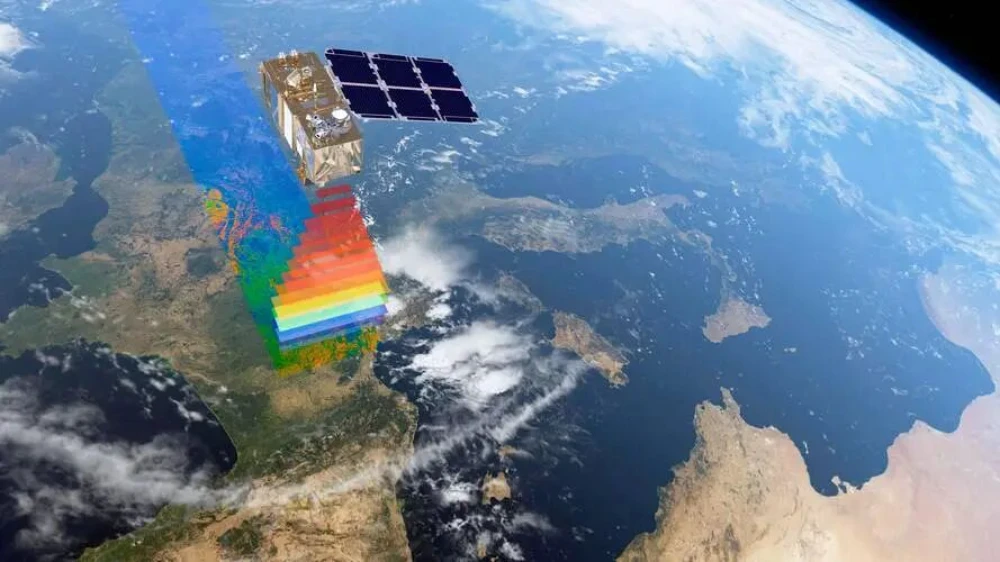
From Imaging to Intelligence: How Smart Remote-Sensing Satellites Are Changing the Market
Several smart remote-sensing satellites have recently been launched in China and other countries, entering a rapidly expanding applications market and attracting growing industry attention. But what does it mean for a remote-sensing satellite to become “smart”? What benefits could onboard intelligence provide, and how might it help satellite operators reach new markets and deliver services…
-
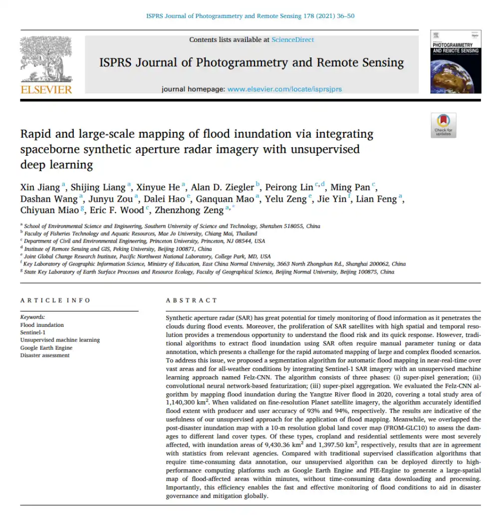
Can SAR Map Floods Without Manual Labels or Threshold Tuning?
In brief: Conventional SAR-based flood mapping often runs into two obstacles: thresholds must be adjusted repeatedly by hand, while supervised learning requires large volumes of labeled data. This paper proposes Felz-CNN, also known as the adaptive unsupervised Felz-CNN segment system (AUFCS). The method first uses Felzenszwalb superpixels to divide a SAR image into many internally…
-
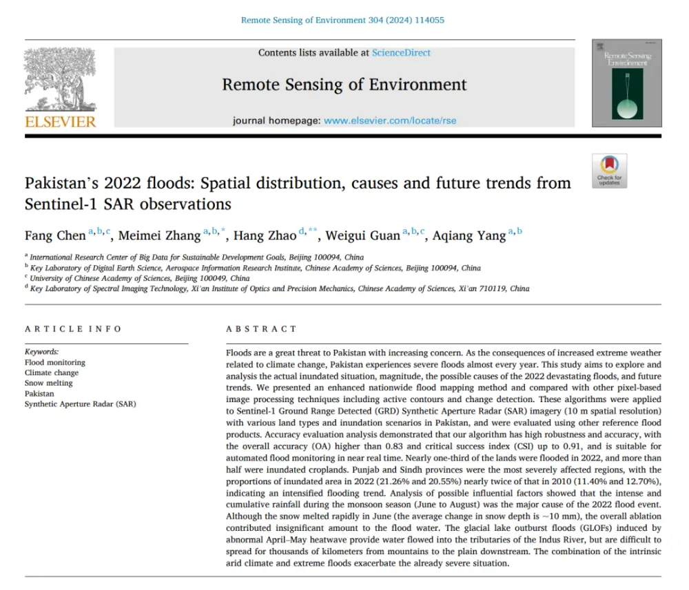
What Really Caused Pakistan’s 2022 Floods: Extreme Rainfall, Snowmelt, or Glacial Lake Outburst Floods?
In brief: Published in Remote Sensing of Environment, this study does more than use Sentinel-1 data to map Pakistan’s catastrophic 2022 floods. It seeks to answer three broader questions: How much of the country was flooded? Why was the disaster so severe? And was it worse than the major flood of 2010? The authors developed…
-
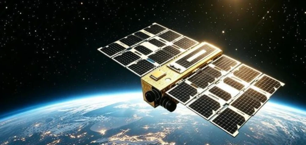
Successful Launch Does Not Mean Delivery Is Complete: Key Stages of In-Orbit Satellite Delivery
On September 13, during the 2026 China International Fair for Trade in Services (CIFTIS), Beijing Kaiyun United Information Technology Group Co., Ltd. (“Kaiyun Group”), PICC Property and Casualty Company Limited Zhejiang Branch, Beijing Hangbiao Times Testing and Certification Co., Ltd., and Sipai (Beijing) Insurance Brokerage Co., Ltd. signed a strategic cooperation agreement to develop commercial…
-

Fifth International Summit on Large-Scale Beidou Applications Highlights Everyday Uses and Global Cooperation
The fifth International Summit on Large-Scale Beidou Applications concluded Sept. 16 in Zhuzhou, Hunan province, after two days of demonstrations spanning consumer devices, drone operations and overseas projects. Organizers unveiled 51 products, technologies and application solutions, while 41 industry and research cooperation projects involving a total planned investment of 5.54 billion yuan were signed. The…
-
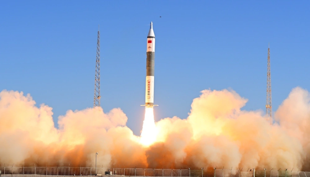
China Launches Tianyi-51 and Tianyi-52 Satellites on Kuaizhou-11 Rocket
At 10:40 a.m. Beijing time on September 17, 2026, China launched the Tianyi-51 and Tianyi-52 satellites aboard a Kuaizhou-11 Y3 rocket from the Jiuquan Satellite Launch Center. Both satellites entered their planned orbits, completing the mission successfully. The satellites form a commercial, mid-inclination interferometric synthetic aperture radar (InSAR) pair designed to monitor changes in the…