
Tag: crop monitoring
-
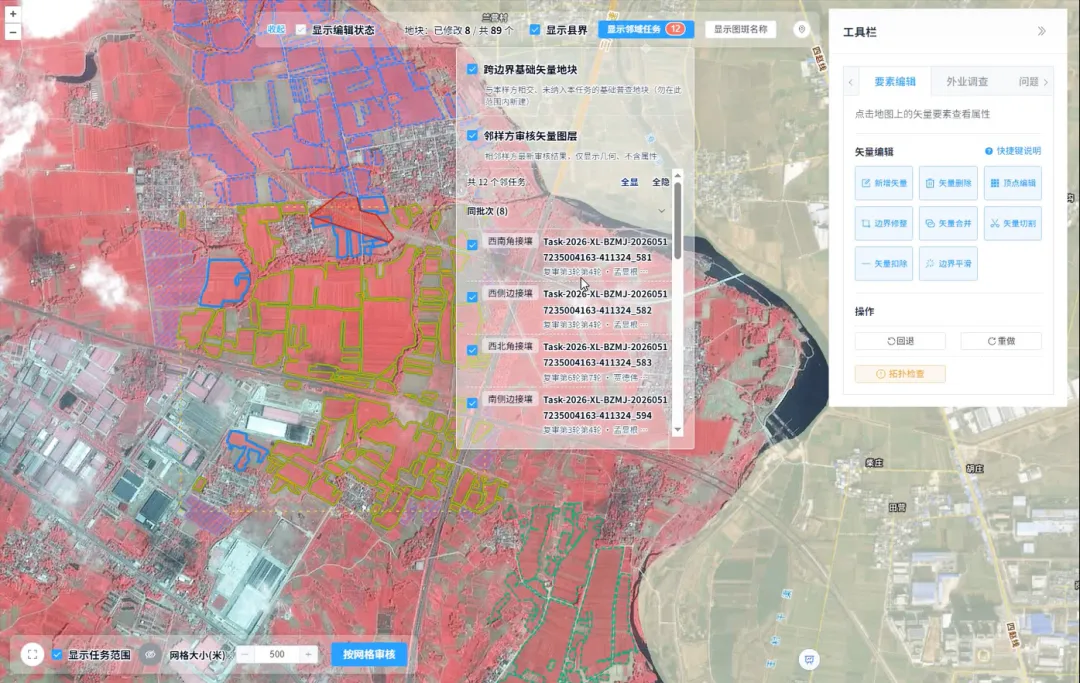
How Is Every Field Accurately Verified? China Uses Remote Sensing for Its Fourth National Agricultural Census
Remote sensing technology has given agricultural censuses “eyes in space,” but satellite imagery alone cannot produce agricultural data with 100% accuracy. Misaligned field boundaries, omitted or duplicated polygons, crop misclassification, and cloud cover obscuring ground conditions are all unavoidable challenges in remote sensing interpretation. These issues emerged during the remote sensing survey verification for China’s…
-

From Crop Health to Irrigation Management: How Satellite Remote Sensing Can Help Agriculture Respond to Growing Water Pressure
In the summer of 2026, drought across Europe and the developing El Niño once again drew attention to risks affecting agricultural production and food security. On August 13, the Associated Press reported that persistent heat and drought were affecting agricultural production across Europe, putting crops ranging from potatoes in the Netherlands and maize in Bosnia…
-
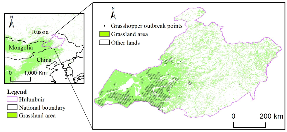
How can satellite data be used for crop monitoring?
Satellite data has become one of the most valuable tools for modern crop monitoring, providing consistent, large-scale visibility into agricultural conditions throughout the growing season. By capturing observations of farmland from space, Earth observation systems enable farmers, agribusinesses, governments, and agricultural researchers to assess crop performance, identify emerging risks, and make more informed management decisions.…