
Tag: Sentinel 2
-
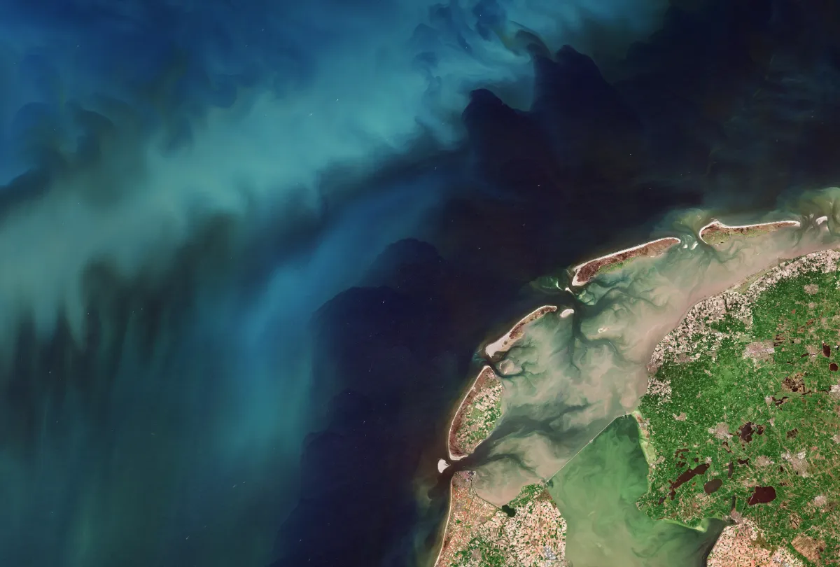
Is Sentinel-2 Detailed Enough for Small Fields? How to Check Before Monitoring
Sentinel-2 can support monitoring of some small agricultural fields, but field area alone cannot tell you whether it is detailed enough. A compact parcel may contain useful interior pixels, while a narrow parcel of the same area may be dominated by boundaries, neighbouring crops and field margins. The right test is whether the imagery provides…
-
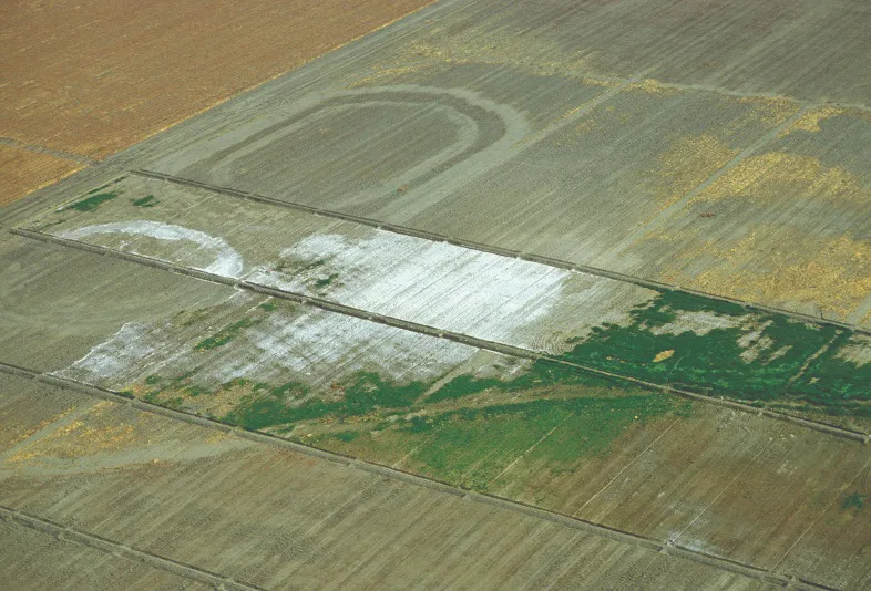
Can Satellite Imagery Detect Soil Salinity?
Satellite imagery can reveal exposed salt crusts, identify crop patterns consistent with salt stress, and support soil salinity estimates calibrated against ground measurements. These are three different results. A bright patch of soil or a low vegetation index alone cannot establish how saline the soil is, particularly below the surface. For agricultural monitoring, the useful…
-
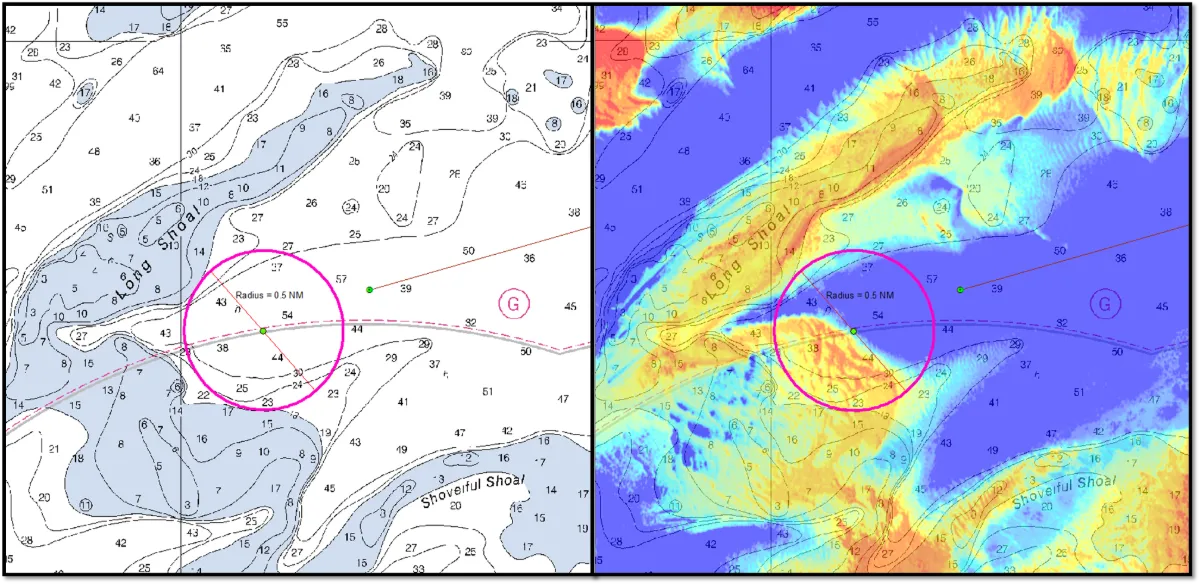
Can Satellite Imagery Measure Shallow-Water Depth?
Yes, satellite imagery can estimate shallow-water depth where enough light reaches the bottom and returns to the sensor. This approach, known as satellite-derived bathymetry (SDB), can help map coastal shallows, identify possible shoals and prioritize areas for detailed surveys. Its usefulness depends on water clarity, bottom conditions, image quality and validation against reliable depth measurements.…
-
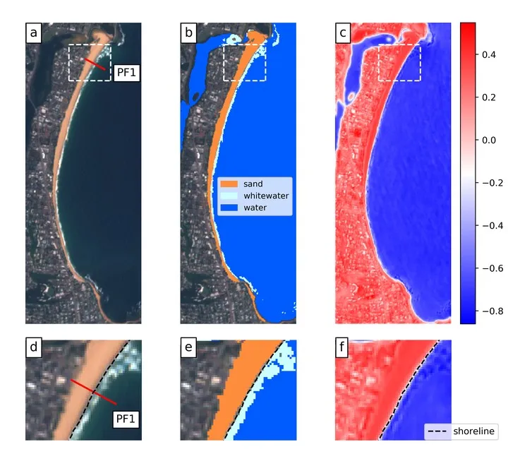
How to Measure Shoreline Change Without Mistaking Tides for Erosion
A shoreline can move landward between two satellite images even when the beach has lost no sediment. A higher tide, stronger wave run-up or a different position within the seasonal beach cycle can all change where water meets land. Measuring coastal change therefore requires more than extracting a clean boundary. The measurement must follow a…
-
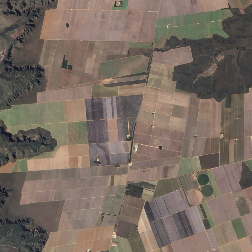
Can Satellites Measure Soil Organic Carbon?
Satellites can help estimate soil organic carbon and map its spatial variation, but they do not directly measure the carbon stored throughout a soil profile. Optical sensors observe the exposed surface or the vegetation above it. Turning those observations into a soil carbon estimate requires a model, representative soil samples and independent validation. For agricultural…
-
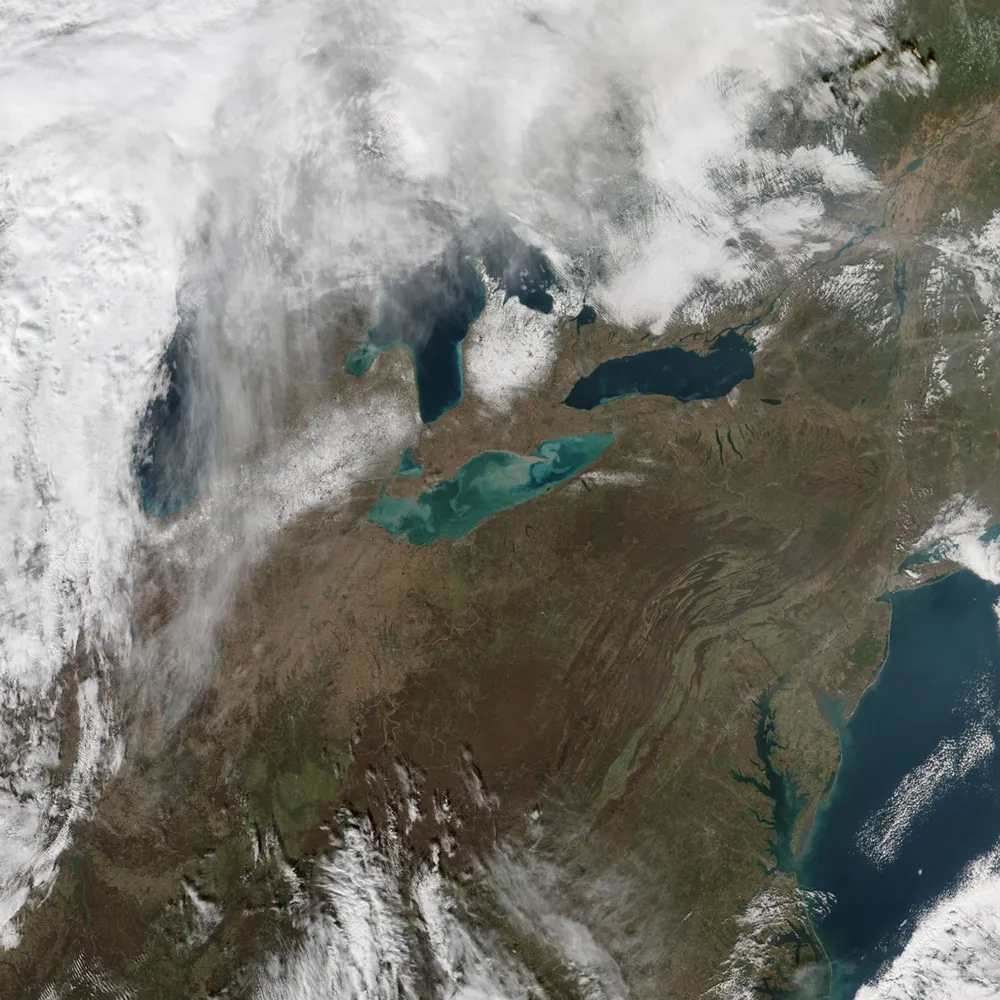
How Reliable Is Satellite-Derived Water Turbidity?
Satellite-derived turbidity can support reliable monitoring of sediment plumes, seasonal patterns and unusual changes across rivers, lakes and coastal waters. Its reliability, however, depends on whether the imagery, processing method and retrieval algorithm have been validated for the conditions being monitored. A convincing map is not enough: users need to know how closely the estimates…
-
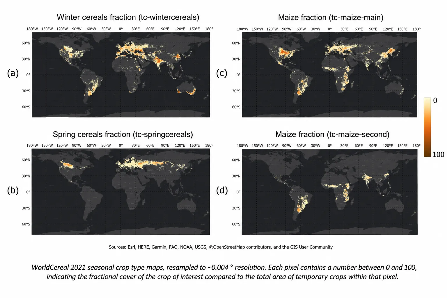
How to Identify Crop Types with Limited Ground Truth
Satellite imagery can help identify what farmers are growing, even when field observations are limited. But a detailed crop map needs more than an image and a classification algorithm. It needs reference labels that match the location and growing season, observations that capture crop development, and independent checks of the results. When those ingredients are…
-
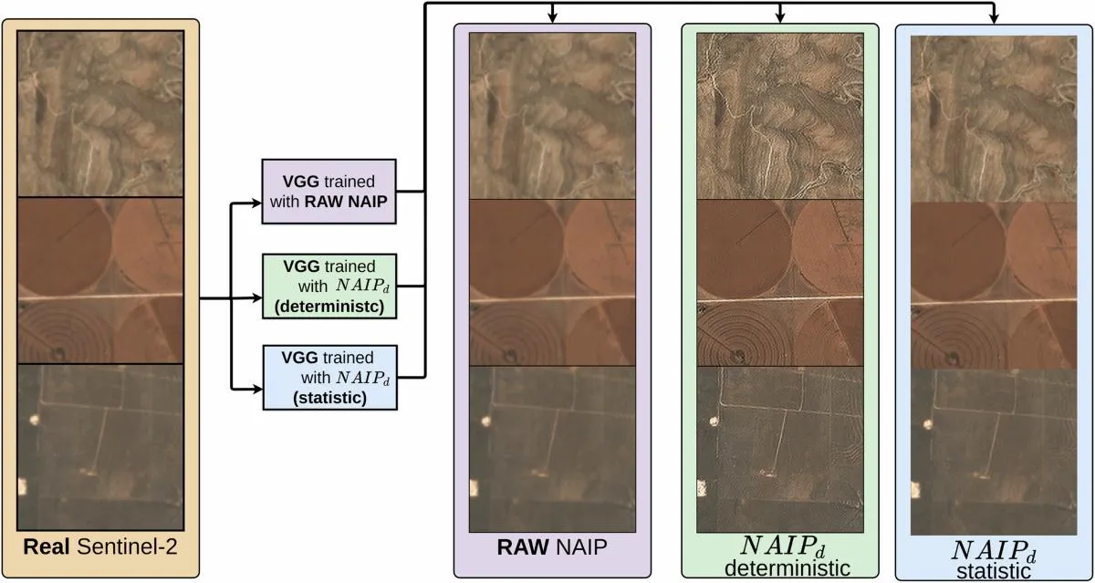
Can AI Super-Resolution Replace High-Resolution Satellite Imagery?
AI super-resolution can make satellite imagery look sharper and, in some validated workflows, improve the information extracted from it. But it does not automatically turn a low-resolution observation into the equivalent of a native high-resolution image. Whether it can replace a new imagery purchase depends on the task: a background map, a land-cover classification, a…
-
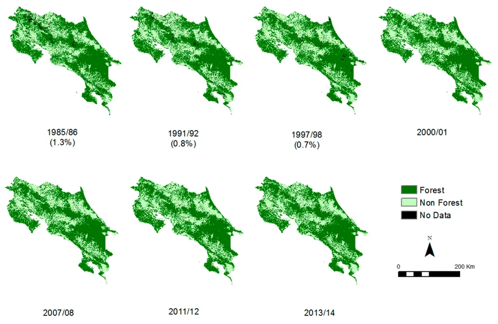
How to Check Historical Tree Cover Before Planting
Checking whether trees existed on a plot before planting requires more than searching a forest-loss map. A useful assessment connects each plot boundary to its planting date, examines evidence from the relevant historical period, and records what the available data can—and cannot—establish. Satellite archives can help screen large numbers of plots, but missing loss records…
-
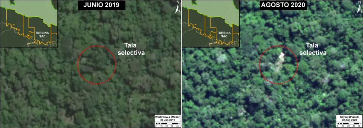
Can Satellite Imagery Detect Selective Logging?
Satellite imagery can detect some selective logging, particularly when tree removal creates visible canopy gaps, new access routes or repeated changes in the radar signal. However, detecting a large clear-cut is a different task from identifying scattered tree removal beneath a mostly intact canopy. The reliability of the result depends on the disturbance footprint, forest…