
Tag: Urban Planning
-
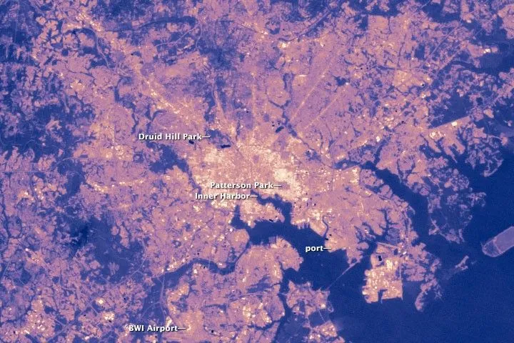
Why Satellite Surface Temperature Differs from Air Temperature
A satellite temperature map can show a hot industrial district while a nearby weather station reports a much lower temperature. Both observations may be correct. The satellite estimates the temperature of visible surfaces, while the station measures the air around its sensor. These measurements describe different parts of the urban environment and should answer different…
-
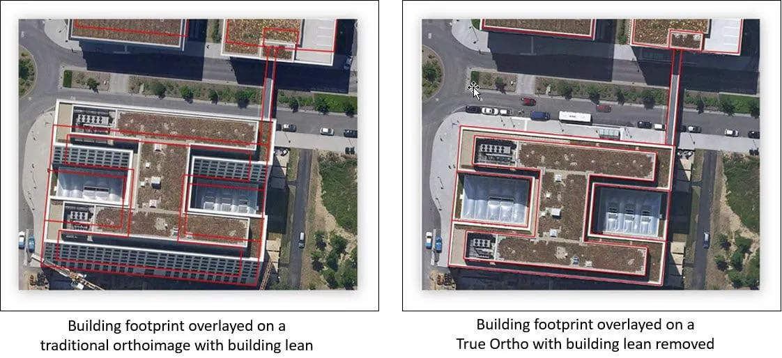
Why Don’t Satellite Images Line Up with Your GIS Data?
A new satellite image arrives, but roads sit slightly beside their mapped centerlines, building roofs extend beyond existing footprints, and a utility corridor appears to have shifted. Before moving any GIS features, check how both datasets were positioned. A sharper or newer image does not automatically provide a more accurate ground reference. Misalignment can come…
-
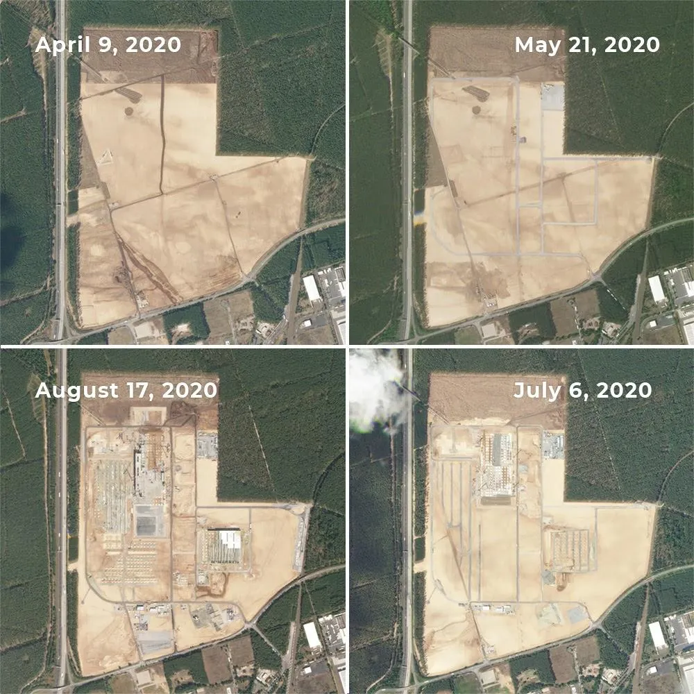
Can Satellite Imagery Detect Early-Stage Construction?
Satellite imagery can reveal construction activity before a building is completed—and sometimes before its structure appears. Land clearing, exposed soil and expanding work areas can provide early signals. But reliably identifying a small foundation or building extension requires much finer imagery than detecting a large construction site. The result depends on the size of the…
-
Mianyang, Sichuan Uses SAR Satellites to Monitor Ground Deformation and Identify Urban Building Safety Risks
Satellite remote sensing is moving beyond specialized surveying and scientific research into practical applications such as urban governance, agriculture, resource management and infrastructure monitoring. This shift is particularly visible in China. In 2025, China launched more than 120 remote-sensing satellites, while its civilian remote-sensing satellite fleet in orbit exceeded 640, maintaining the country’s position as…
-
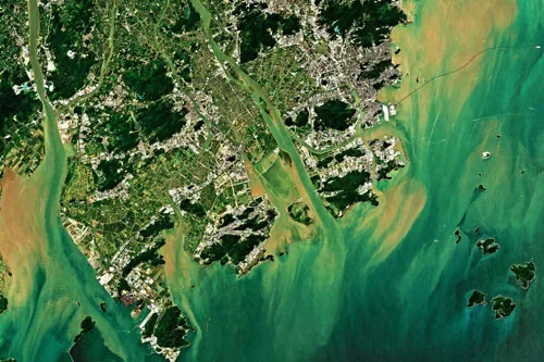
Can satellite analytics support smart city development?
Yes, satellite analytics can play a significant role in supporting smart city development by providing comprehensive geospatial intelligence that helps cities improve efficiency, sustainability, resilience, and quality of life. As urban areas become increasingly connected and data-driven, Earth observation technologies contribute valuable information that complements sensors, IoT networks, operational systems, and urban analytics platforms. Smart…
-
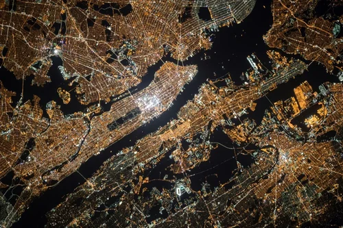
What Is Satellite Imagery? A Guide for Modern Businesses
From monitoring vast agricultural fields to planning the cities of tomorrow, the view from above offers unparalleled insights. Satellite imagery is transforming how industries operate, enabling organizations to make critical decisions with precision and foresight. These “eyes in the sky” provide a wealth of Earth observation data, driving efficiency, enhancing safety, and unlocking new possibilities.…
-
Explaining the Six Components of a Remote Sensing System
A remote sensing system has six components to gather valuable data. In an era of technological advancements, remote sensing technologies have emerged as invaluable tools for understanding and monitoring the Earth’s surface. These innovative technologies enable us to gather data by sensing the energy emitted, or reflected, by a geographical area. Whether for scientific research,…
-
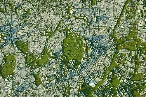
Science fiction focuses on the far future of terraforming, with a tie-in to today’s cities
An artist’s conception shows a city taking shape on Mars. (SpaceX Illustration) Billionaires such as Elon Musk and Jeff Bezos dream of making Mars more like Earth, or seeing millions of people living and working in space — but could such dreams ever be turned into reality? In a new novel titled “The Terraformers,” science…