
Author: starpathwp-zyj
-

STARPATH GLOBAL Showcases Space and Geospatial Intelligence Capabilities at Xinjiang Aerospace and Defense Technology Expo, Exploring New Opportunities for Global Commercial Space Cooperation
Urumqi, Xinjiang, China — The 2026 Xinjiang New Quality Productive Forces and Aerospace & Defense Technology Equipment Expo was held from August 21 to 23, 2026, at the Xinjiang International Convention and Exhibition Center. Under the theme “Empowering Aerospace with New Quality Productive Forces and Strengthening National Defense through Technological Innovation,” the expo focused on…
-
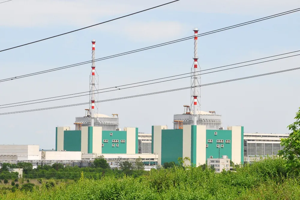
Danube Drought Cuts Nuclear Output: How Satellites Support Water–Energy Risk Monitoring
On 20 August 2026, Bulgaria’s Ministry of Energy and Kozloduy Nuclear Power Plant announced that Unit 5 would be reduced by approximately 120 MW on 21 August as a preventive measure in response to the Danube’s continuing decline to critically low levels. The reduction was equivalent to roughly 12% of the unit’s approximately 1,000 MW…
-
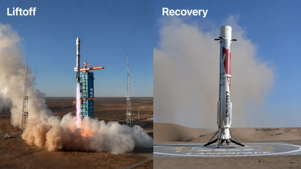
Zhuque-3 Y2 Successfully Recovered: China Achieves Its First Onshore Recovery of an Orbital-Class Rocket First Stage
At 7:35 a.m. Beijing Time on August 19, 2026, the Zhuque-3 Y2 launch vehicle, developed by LandSpace Technology Corporation Ltd. serving as the prime contractor, lifted off from the Dongfeng Commercial Space Innovation Pilot Zone. Approximately 137 seconds after liftoff, the first and second stages separated. The second stage continued its flight and successfully placed…
-
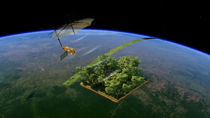
From Carbon Emissions to Carbon Sinks: How Satellites Support Carbon Monitoring
As the world continues to pursue net-zero targets, carbon data is becoming an increasingly important foundation for climate governance, corporate emissions reduction, and ecosystem management. Countries need to quantify and assess greenhouse gas emissions more accurately. Companies need an ongoing understanding of emissions changes across their operations and associated facilities. Carbon markets and carbon projects…
-
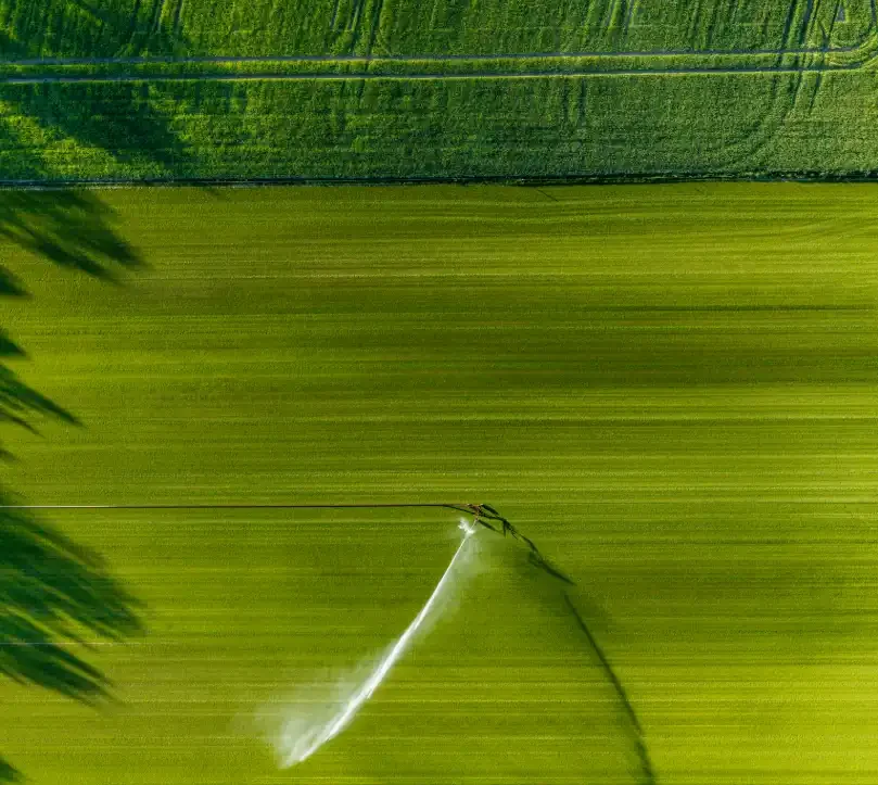
From Crop Health to Irrigation Management: How Satellite Remote Sensing Can Help Agriculture Respond to Growing Water Pressure
In the summer of 2026, drought across Europe and the developing El Niño once again drew attention to risks affecting agricultural production and food security. On August 13, the Associated Press reported that persistent heat and drought were affecting agricultural production across Europe, putting crops ranging from potatoes in the Netherlands and maize in Bosnia…
-
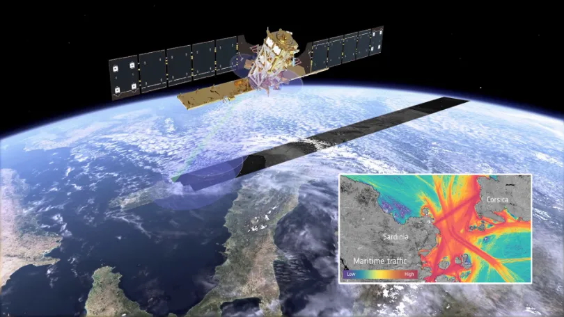
When Vessels “Disappear” from the Map: How Multi-Source Satellite Data Can Help Detect Maritime Smuggling
In May 2026, conventional vessel-tracking maps showed major information gaps around the Strait of Hormuz. The gaps did not necessarily mean that the vessels had left the area. According to Windward, dark-vessel activity in and around the Strait increased by nearly 600% between April 19 and May 3. On May 5, its multi-source analysis identified…
-
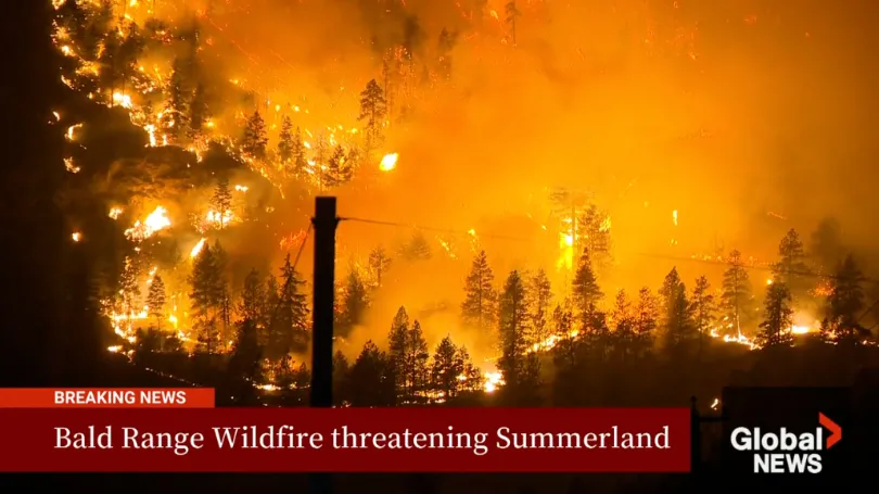
The Bald Range Wildfire Exploded in Size Within Hours: How Satellite Data Can Close the Speed Gap Between Disaster and Decision-Making
The Bald Range wildfire in British Columbia’s Southern Interior was first reported on the evening of August 7, 2026. According to local emergency officials, it grew to approximately 50 square kilometres within about three hours. By the afternoon of August 8, it had burned more than 100 square kilometres and advanced roughly 15 kilometres toward…
-

When satellites become AI agents, space data centers become the next AI frontier
The next AI infrastructure race may not happen on Earth. It could happen in orbit, where satellites become intelligent computing platforms. Credit: Artsiom P / Shutterstock For decades, space infrastructure was largely understood through the language of rockets, satellites, launch capacity, communications and exploration. The enterprise technology world watched from a distance. Space was important,…
-
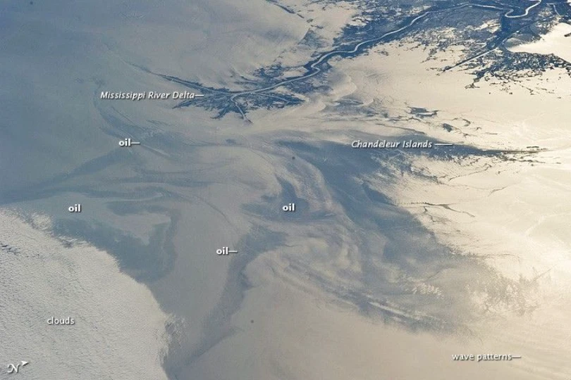
Tracking the Spread of the Oil Slick off Oman: How Satellites Support Maritime Monitoring and Coastal Impact Assessment
A tanker that has been grounded off the coast of Oman’s Dhofar Governorate since June 2026 drew growing international attention in late July and early August, as satellite imagery showed the surrounding oil slick expanding rapidly. On August 1, the Associated Press reported that satellite imagery acquired through July 31 showed an estimated oil sheen…
-
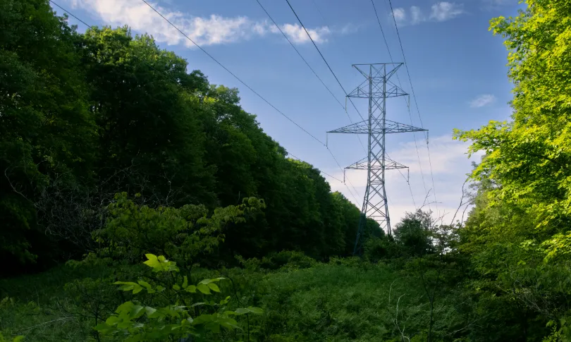
From Post-Disaster Repairs to Early Warning: How to Identify High-Risk Power Line Corridors for Vegetation Management
In early August 2026, the Bradley Creek wildfire spread rapidly amid strong winds in British Columbia’s Okanagan region, causing severe damage to local infrastructure, widespread power outages, and emergency evacuations. In an August 3 incident update, local utility BC Hydro reported extensive damage to its electrical system. Approximately 150 distribution poles had been identified for…