
Author: starpathwp-zyj
-
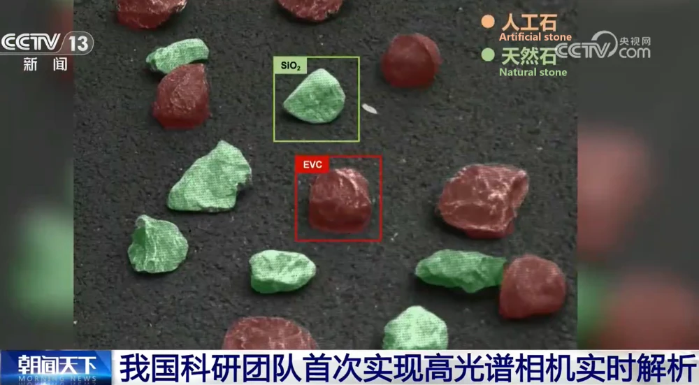
Data No Longer Has to “Travel Back and Forth”: Chinese Team Achieves First Real-Time Hyperspectral Camera Analysis
A research team from Beijing Institute of Technology (BIT) has developed an integrated hyperspectral imaging system capable of real-time analysis at the edge, overcoming a long-standing bottleneck in hyperspectral applications caused by massive data processing requirements. The breakthrough, led by academician Zhang Jun’s team at BIT, introduces a new on-chip spectral computing architecture that moves…
-
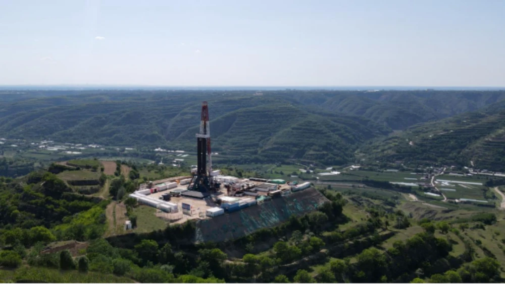
Green Mining | Six Scenarios Unlock New Paths for Green Mineral Exploration in China
In recent years, China has vigorously promoted green mineral exploration, carrying out a series of initiatives in areas including institutional guidance, equipment demonstrations and promotion, and the development of a sound standards system. In 2024, the Ministry of Natural Resources and the National Forestry and Grassland Administration issued the Notice on Fully Implementing Green Exploration…
-
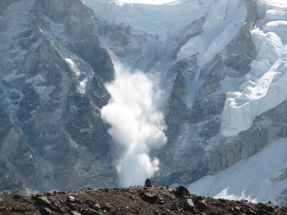
From Detecting Change to Assessing Risk: Satellite Remote Sensing for High-Mountain Hazards
On August 26, 2026, a cascading debris-flow disaster originating on the Nepal side of the China–Nepal border struck Gyirong Port in Xizang, China. Based on pre- and post-event high-resolution satellite imagery, seismic reports, and imagery transmitted from the affected area, an expert working group organized by China’s Ministry of Natural Resources preliminarily assessed that the…
-
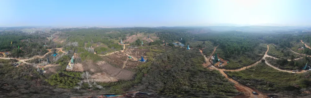
China Reports Largest Porphyry Copper-Gold Find in Middle-Lower Yangtze, Opening New Exploration Frontier
China has reported a major copper-gold exploration breakthrough in Anhui province, identifying what researchers describe as the largest porphyry copper-gold deposit yet found in the Middle-Lower Yangtze region and challenging conventional assumptions about where large porphyry systems can form. China’s Ministry of Natural Resources announced the latest exploration results on Sept. 1. The breakthrough centers…
-
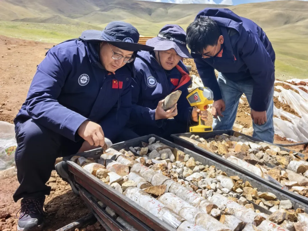
Star–Air–Ground–Borehole Exploration Technology Leads to New Breakthrough in Gangdese Mineral Prospecting
Recently, the China Aero Geophysical and Remote Sensing Center for Natural Resources’ Qinghai–Tibet Plateau airborne geophysical exploration team discovered the Changlong iron-rich tin polymetallic deposit for the first time in an unexplored area of the western Gangdese metallogenic belt. The discovery took just six months from the initial flight survey to the confirmation of mineralization,…
-
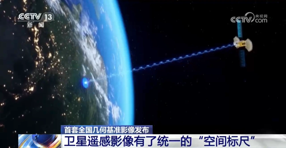
China Releases First Nationwide Geometric Reference Imagery, Creating a Common Spatial Standard for Satellite Data and Cutting Processing Costs
China’s Ministry of Natural Resources has released the country’s first set of geometric reference imagery covering its entire land territory, establishing a common spatial reference for the production and geometric correction of satellite remote-sensing imagery. Announced in late August, the dataset has a spatial resolution better than 0.5 meters and is intended to address a…
-
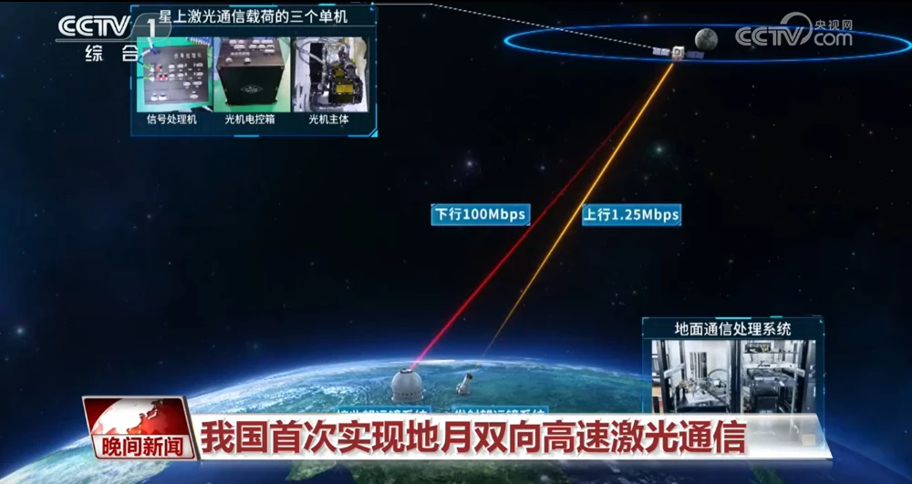
China Achieves First Two-Way High-Speed Earth-Moon Laser Communications
China has achieved two-way high-speed laser communications between Earth and the Moon for the first time, establishing a bidirectional optical link across more than 400,000 kilometers and marking a major expansion of the country’s space laser communications capabilities into cislunar space. The Technology and Engineering Center for Space Utilization of the Chinese Academy of Sciences…
-

Closing the Last Mile of Earth Observation: How FDEs Turn Geospatial Intelligence into Business Outcomes
“We want to identify risks earlier.” For a mining company managing multiple tailings facilities, this is a natural business objective: regularly acquire satellite imagery, detect changes in the facilities and their surrounding environments, assess potential risk signals, and issue alerts when anomalies may require further attention. From a technical perspective, this may not seem particularly…
-
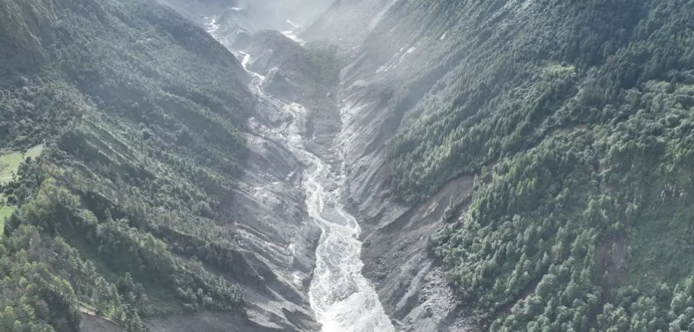
China–Nepal Border Flood: How Satellite Intelligence Supports Disaster Response When Roads and Communications Fail
Information current as of August 28, 2026. The disaster mechanism, casualty figures, and damage estimates remain subject to revision as field investigations continue. On August 26, 2026, a devastating flood and debris-flow disaster struck the Himalayan region along the border between China’s Xizang Autonomous Region and Nepal. Fast-moving floodwater, sediment, and boulders swept through narrow…
-

Mianyang, Sichuan Uses SAR Satellites to Monitor Ground Deformation and Identify Urban Building Safety Risks
Satellite remote sensing is moving beyond specialized surveying and scientific research into practical applications such as urban governance, agriculture, resource management and infrastructure monitoring. This shift is particularly visible in China. In 2025, China launched more than 120 remote-sensing satellites, while its civilian remote-sensing satellite fleet in orbit exceeded 640, maintaining the country’s position as…