
Tag: China
-
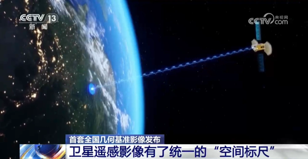
China Releases First Nationwide Geometric Reference Imagery, Creating a Common Spatial Standard for Satellite Data and Cutting Processing Costs
China’s Ministry of Natural Resources has released the country’s first set of geometric reference imagery covering its entire land territory, establishing a common spatial reference for the production and geometric correction of satellite remote-sensing imagery. Announced in late August, the dataset has a spatial resolution better than 0.5 meters and is intended to address a…
-
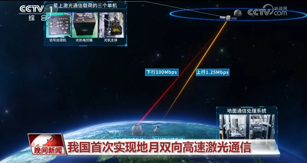
China Achieves First Two-Way High-Speed Earth-Moon Laser Communications
China has achieved two-way high-speed laser communications between Earth and the Moon for the first time, establishing a bidirectional optical link across more than 400,000 kilometers and marking a major expansion of the country’s space laser communications capabilities into cislunar space. The Technology and Engineering Center for Space Utilization of the Chinese Academy of Sciences…
-

How Many Licenses Does a Chinese Satellite Company Need to Operate a Constellation?
A company can manufacture satellites, launch them, and even complete the initial deployment of a constellation. But charging customers for services still requires regulatory approval. A rocket launch solves the problem of getting into space; legally providing services through a constellation involves an entirely different regulatory chain. On August 20, 2026, China’s Ministry of Industry…
-
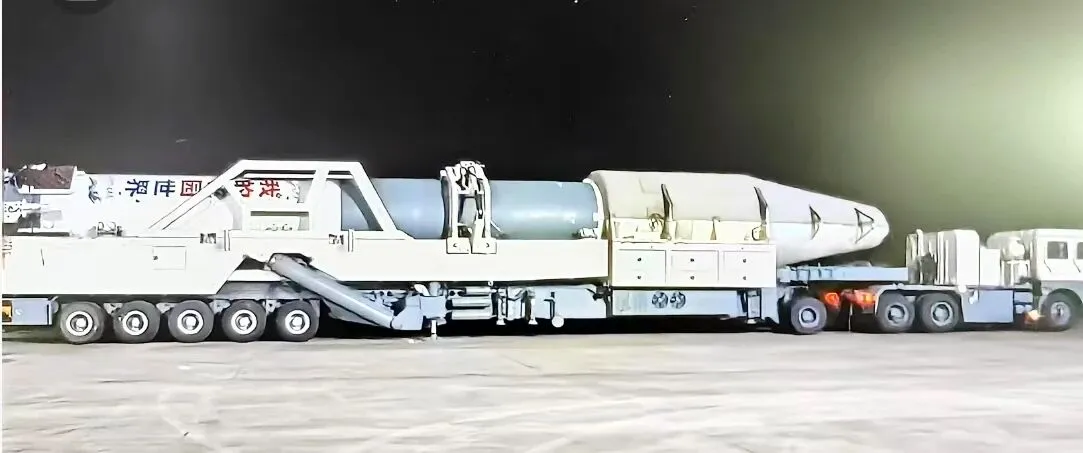
Kuaizhou-11 Y3 Passes Factory Review Ahead of Dual-Satellite Launch
Kuaizhou Aerospace recently announced that the Kuaizhou-11 Y3 carrier rocket has completed all assembly and testing work at its Wuhan base and successfully passed its factory quality review. The rocket will soon be transported to the Jiuquan Satellite Launch Center for a dual-satellite mission carrying Tianyi-51 and Tianyi-52 into orbit. The official launch window has…
-

China–Nepal Border Flood: How Satellite Intelligence Supports Disaster Response When Roads and Communications Fail
Information current as of August 28, 2026. The disaster mechanism, casualty figures, and damage estimates remain subject to revision as field investigations continue. On August 26, 2026, a devastating flood and debris-flow disaster struck the Himalayan region along the border between China’s Xizang Autonomous Region and Nepal. Fast-moving floodwater, sediment, and boulders swept through narrow…
-

Mianyang, Sichuan Uses SAR Satellites to Monitor Ground Deformation and Identify Urban Building Safety Risks
Satellite remote sensing is moving beyond specialized surveying and scientific research into practical applications such as urban governance, agriculture, resource management and infrastructure monitoring. This shift is particularly visible in China. In 2025, China launched more than 120 remote-sensing satellites, while its civilian remote-sensing satellite fleet in orbit exceeded 640, maintaining the country’s position as…
-
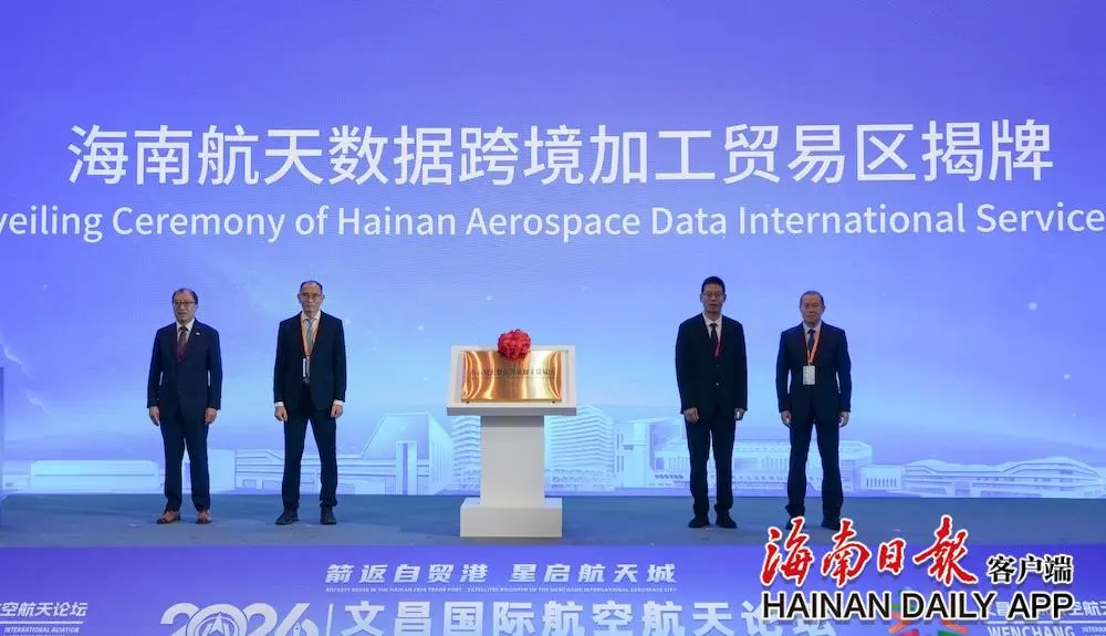
China’s First Cross-Border Satellite Data Processing and Trade Zone Unveiled in Wenchang
The Hainan Aerospace Data Cross-Border Processing and Trade Zone was officially unveiled at the opening ceremony of the 2026 Wenchang International Aviation and Aerospace Forum on Aug. 25. As China’s first trade zone dedicated to the cross-border processing of satellite data, it will leverage the policy advantages of the Hainan Free Trade Port and Wenchang’s…
-

Geespace Secures License as China’s Satellite IoT Industry Enters a Critical Commercialization Phase
Geespace recently received approval from China’s Ministry of Industry and Information Technology (MIIT) to conduct commercial trials of satellite Internet of Things services, becoming the second private company in China to obtain such authorization. When MIIT granted its first approval in May, the market focused primarily on the formal opening of satellite IoT services to…
-

How China Is Expanding Space Product Manufacturing Capacity: Inside the Smart Factory Upgrade at the Shanghai Institute of Spaceflight Control Technology
China’s satellite manufacturing capacity is expanding at an unprecedented pace, driven by the rapid development of commercial spaceflight and large-scale constellation deployment. But how are Chinese space manufacturers increasing output while maintaining the stringent quality standards required for orbital missions? A look inside this upgraded smart factory reveals how digital twins, AI-powered inspection, flexible production…
-

China’s Butuo County Deploys Satellite Remote Sensing and Low-Altitude Drones for Agriculture and Governance
Across China, satellite remote sensing and low-altitude drones are increasingly being deployed in rural agriculture. From monitoring crop growth and identifying pests and diseases to conducting precision spraying and assessing natural-disaster risks, the integration of space-based and aerial technologies is helping improve agricultural productivity, reduce labor costs and modernize rural governance. Butuo County in Sichuan…